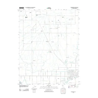
2012 Map of Waterford
USGS Topo · Published 2012About this map
Agricultural operations and an intricate water delivery network dominate this Stanislaus County landscape north of the Tuolumne River. The settlement of Claribel serves as a central point in an area defined by extensive ranching and specialized farming, including dairy, poultry, and nut production. Named family operations like Dutch Star Dairy, Frazier Nut Farms, Willie Creek Ranch, and Heritage Nut Farm are scattered across the quadrangle, illustrating the region's intensive land use.
Find a feature on this map
110 named features on this map. Tap any name to fly to it.
Don’t see what you’re looking for? This feature index may not catch every label — zoom into the map to look around manually.
Map Details
Editions of this 2012 Waterford Map
This is the sole edition of this map. No revisions or reprints were ever made.
Other maps of this area

1915 · Oakdale
USGS Topo · 1:31,680

1915 · Paulsell
USGS Topo · 1:31,680

1915 · Thalheim
USGS Topo · 1:31,680

1916 · Montpellier
USGS Topo · 1:31,680

1916 · Riverbank
USGS Topo · 1:31,680

1916 · Denair
USGS Topo · 1:31,680

1916 · Waterford
USGS Topo · 1:31,680

1916 · Ceres
USGS Topo · 1:31,680

1916 · Copperopolis
USGS Topo · 1:62,500

1939 · Modesto East
USGS Topo · 1:62,500