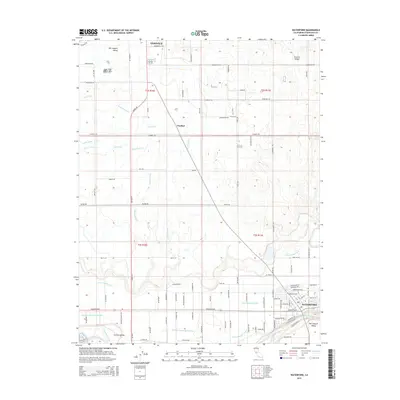
2015 Map of Waterford
USGS Topo · Published 2015About this map
The Tuolumne River winds through the southern edge of this Central Valley landscape, defining the character of a region deeply shaped by agricultural engineering. Located in Stanislaus County, the area is dominated by an intricate network of irrigation features, including the Modesto Lateral Number One, Lateral Number Eleven, and Claribel Lateral. These systems support the fertile lands between the established settlements of Oakdale in the north and Waterford in the south. The grid-like road system, featuring routes like Albers Rd and Yosemite Blvd, connects the small community of Claribel to the surrounding farms. This survey provides a clear look at the hydraulic infrastructure of the San Joaquin Valley, where man-made channels like Rock Cr Ditch and Thompson Lateral dictate the local geography.
Find a feature on this map
137 named features on this map. Tap any name to fly to it.
Don’t see what you’re looking for? This feature index may not catch every label — zoom into the map to look around manually.
Map Details
Editions of this 2015 Waterford Map
This is the sole edition of this map. No revisions or reprints were ever made.
Other maps of this area

1915 · Oakdale
USGS Topo · 1:31,680

1915 · Paulsell
USGS Topo · 1:31,680

1915 · Thalheim
USGS Topo · 1:31,680

1916 · Montpellier
USGS Topo · 1:31,680

1916 · Riverbank
USGS Topo · 1:31,680

1916 · Denair
USGS Topo · 1:31,680

1916 · Waterford
USGS Topo · 1:31,680

1916 · Ceres
USGS Topo · 1:31,680

1916 · Copperopolis
USGS Topo · 1:62,500

1939 · Modesto East
USGS Topo · 1:62,500