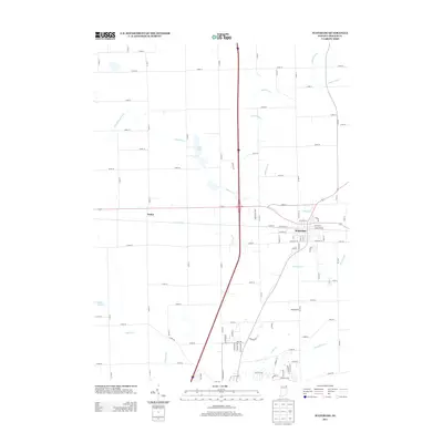
2013 Map of Waterloo
USGS Topo · Published 2013About this map
Waterloo serves as the primary municipal center in this section of DeKalb County, where the intersection of regional thoroughfares and local streets like W Maple St and N Center St define the community layout. To the west, the smaller settlement of Sedan sits along the roadway, illustrating the historic distribution of villages across the Indiana landscape.
Find a feature on this map
82 named features on this map. Tap any name to fly to it.
Don’t see what you’re looking for? This feature index may not catch every label — zoom into the map to look around manually.
Map Details
Editions of this 2013 Waterloo Map
This is the sole edition of this map. No revisions or reprints were ever made.
Other maps of this area

1939 · Hamilton
USGS Topo · 1:24,000

1942 · Ashley
USGS Topo · 1:24,000

1942 · Stroh
USGS Topo · 1:24,000

1948 · Hamilton
USGS Topo · 1:24,000

1953 · Fort Wayne
USGS Topo · 1:250,000

1955 · Corunna
USGS Topo · 1:24,000

1956 · Fort Wayne
USGS Topo · 1:250,000

1957 · Auburn
USGS Topo · 1:24,000

1957 · Waterloo
USGS Topo · 1:24,000

1957 · Garrett
USGS Topo · 1:24,000