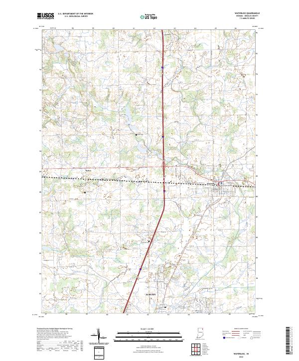
2022 Map of Waterloo
USGS Topo · Published 2022About this map
Waterloo and the northern reaches of Auburn anchor this portion of DeKalb County, where the landscape is defined by an intricate network of agricultural drainage ditches and small lakes. The town of Waterloo is situated at a key crossroads, with its residential grid extending from Union St to W Douglas St, while the community of Sedan lies to the west along the northern edge of the Swartz Ditch. The distribution of rural landmarks, such as Cedar Lake Cem near the shores of Cedar Lake and the Tamarack Cem to the south, reflects the long-standing settlement patterns of the local township units.
Find a feature on this map
87 named features on this map. Tap any name to fly to it.
Don’t see what you’re looking for? This feature index may not catch every label — zoom into the map to look around manually.
Map Details
Editions of this 2022 Waterloo Map
This is the sole edition of this map. No revisions or reprints were ever made.
Other maps of this area

1939 · Hamilton
USGS Topo · 1:24,000

1942 · Ashley
USGS Topo · 1:24,000

1942 · Stroh
USGS Topo · 1:24,000

1948 · Hamilton
USGS Topo · 1:24,000

1953 · Fort Wayne
USGS Topo · 1:250,000

1955 · Corunna
USGS Topo · 1:24,000

1956 · Fort Wayne
USGS Topo · 1:250,000

1957 · Auburn
USGS Topo · 1:24,000

1957 · Waterloo
USGS Topo · 1:24,000

1957 · Garrett
USGS Topo · 1:24,000