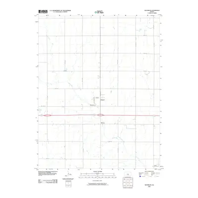
2009 Map of Waterloo
USGS Topo · Published 2009About this map
Waterloo and the nearby settlement of Midway sit at the center of this rural Kingman County landscape, defined by a rectilinear grid of section roads and the meandering courses of Spring Creek and Smoots Creek. The map documents a quiet agricultural region where local history is preserved in small, dispersed sites such as Lebanon Cemetery, Waterloo Cemetery, and Saint Louis Cemetery. In the southeast corner, the Dewey Oil and Gas Field indicates the subsurface industrial activity that overlays the traditional farming economy. The presence of these specific burial grounds and named crossroads provides a clear spatial record of community hubs in a region characterized by wide-open spaces and primary transport arteries like NE 30 St and NE 100 Ave.
Find a feature on this map
26 named features on this map. Tap any name to fly to it.
Don’t see what you’re looking for? This feature index may not catch every label — zoom into the map to look around manually.
Map Details
Editions of this 2009 Waterloo Map
This is the sole edition of this map. No revisions or reprints were ever made.
Other maps of this area

1889 · Cheney
USGS Topo · 1:125,000

1891 · Cheney
USGS Topo · 1:125,000

1892 · Kingman
USGS Topo · 1:125,000

1894 · Kingman
USGS Topo · 1:125,000

1901 · Cheney
USGS Topo · 1:125,000

1955 · Wichita
USGS Topo · 1:250,000

1955 · Pratt
USGS Topo · 1:250,000

1958 · Wichita
USGS Topo · 1:250,000

1959 · Pratt
USGS Topo · 1:250,000

1964 · Cheney
USGS Topo · 1:24,000