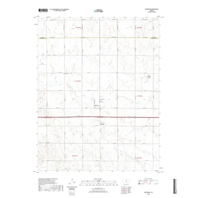
2018 Map of Waterloo
USGS Topo · Published 2018About this map
Waterloo and Midway anchor this section of the Kansas plains, situated along the county line where Reno and Kingman counties meet. The landscape is defined by the gentle drainage of Smoots Creek and Spring Cr, which move through a grid-iron network of section roads such as Maple Grove Rd and Smoots Creek Rd. For those tracing local heritage, the map identifies three distinct burial grounds: Waterloo Cem, Saint Louis Cem, and Lebanon Cem, each marking early community nodes. A notable modern landmark is the Mono Aircraft Airport located in the eastern portion of the quadrangle, serving as a rare piece of aviation infrastructure amidst the agricultural fields. The map's layout of section lines and named roads reflects the persistent agrarian organization of the region into the late 2010s.
Find a feature on this map
27 named features on this map. Tap any name to fly to it.
Don’t see what you’re looking for? This feature index may not catch every label — zoom into the map to look around manually.
Map Details
Editions of this 2018 Waterloo Map
This is the sole edition of this map. No revisions or reprints were ever made.
Other maps of this area
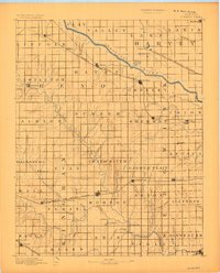
1889 · Cheney
USGS Topo · 1:125,000
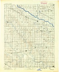
1891 · Cheney
USGS Topo · 1:125,000
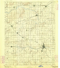
1892 · Kingman
USGS Topo · 1:125,000
1894 · Kingman
USGS Topo · 1:125,000
1901 · Cheney
USGS Topo · 1:125,000
1955 · Wichita
USGS Topo · 1:250,000
1955 · Pratt
USGS Topo · 1:250,000
1958 · Wichita
USGS Topo · 1:250,000
1959 · Pratt
USGS Topo · 1:250,000
1964 · Cheney
USGS Topo · 1:24,000