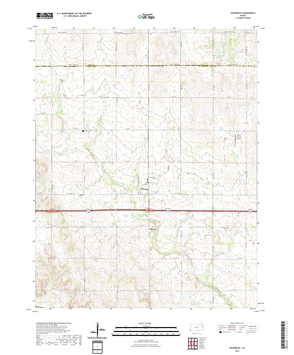
2022 Map of Waterloo
USGS Topo · Published 2022About this map
Waterloo sits at the intersection of NE 100 Ave and NE 20 St, serving as a central hub for this rural Kansas landscape. The settlement is flanked by the Waterloo Cem and Saint Louis Cem, providing a clear focal point for local genealogical study. To the north, the terrain is defined by the winding path of Smoots Creek, while Spring Creek cuts through the western sections near Lebanon Cem.
Find a feature on this map
44 named features on this map. Tap any name to fly to it.
Don’t see what you’re looking for? This feature index may not catch every label — zoom into the map to look around manually.
Map Details
Editions of this 2022 Waterloo Map
This is the sole edition of this map. No revisions or reprints were ever made.
Other maps of this area

1889 · Cheney
USGS Topo · 1:125,000

1891 · Cheney
USGS Topo · 1:125,000

1892 · Kingman
USGS Topo · 1:125,000

1894 · Kingman
USGS Topo · 1:125,000

1901 · Cheney
USGS Topo · 1:125,000

1955 · Wichita
USGS Topo · 1:250,000

1955 · Pratt
USGS Topo · 1:250,000

1958 · Wichita
USGS Topo · 1:250,000

1959 · Pratt
USGS Topo · 1:250,000

1964 · Cheney
USGS Topo · 1:24,000