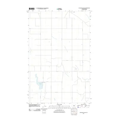
2011 Map of Waterloo Lake
USGS Topo · Published 2011About this map
Waterloo Lake and the surrounding prairie landscape are defined by the convergence of several waterways in this northeastern North Dakota township. The hydrological network includes the South Branch Park River, the Middle Branch Park River, and the North Branch Park River, which drain the agricultural land south of Milton. For genealogists and local historians, the Hitterdal Cemetery stands as a significant cultural landmark along 77th St NE, located just north of the lake. The terrain is organized by a strict section-line road grid, including County Hwy-1 and County Hwy-7, which facilitate access across the rural landscape. Near the eastern edge, the Seim Dam on the Middle Branch Park River illustrates local water management efforts within this sparsely populated farming region.
Find a feature on this map
26 named features on this map. Tap any name to fly to it.
Don’t see what you’re looking for? This feature index may not catch every label — zoom into the map to look around manually.
Map Details
Editions of this 2011 Waterloo Lake Map
This is the sole edition of this map. No revisions or reprints were ever made.
Other maps of this area

1952 · Thief River Falls
USGS Topo · 1:250,000

1953 · Devils Lake
USGS Topo · 1:250,000

1956 · Thief River Falls
USGS Topo · 1:250,000

1956 · Devils Lake
USGS Topo · 1:250,000

1957 · Thief River Falls
USGS Topo · 1:250,000
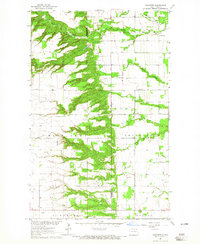
1964 · Concrete
USGS Topo · 1:24,000

1967 · Thief River Falls
USGS Topo · 1:250,000

1972 · Osnabrock
USGS Topo · 1:24,000
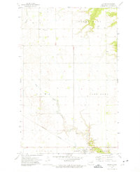
1972 · Milton
USGS Topo · 1:24,000

1972 · Osnabrock SW
USGS Topo · 1:24,000