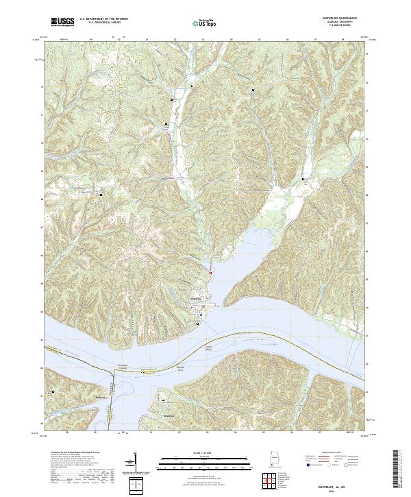
2024 Map of Waterloo
USGS Topo · Published 2024About this map
Waterloo sits along the northern banks of the Tennessee River, serving as a focal point for this borderlands region where Alabama, Mississippi, and Tennessee converge. The landscape is defined by the river’s wide expanse and the intricate drainage systems of Bumpass Creek, Second Creek, and North Fork Panther Creek. The map documents a historical corridor of river-based transit, most notably featuring the Riverton Ferry and the Chickasaw Crossing. These landmarks, along with the nearby settlements of Riverton and Eastport, reflect the enduring importance of the river for movement and commerce across state lines.
Find a feature on this map
104 named features on this map. Tap any name to fly to it.
Don’t see what you’re looking for? This feature index may not catch every label — zoom into the map to look around manually.
Map Details
Editions of this 2024 Waterloo Map
This is the sole edition of this map. No revisions or reprints were ever made.
Other maps of this area

1905 · Waynesboro
USGS Topo · 1:125,000

1911 · Iuka
USGS Topo · 1:48,000

1914 · Iuka
USGS Topo · 1:62,500

1924 · Gravelly Springs
USGS Topo · 1:48,000

1926 · Gravelly Springs
USGS Topo · 1:62,500

1935 · Cherokee
USGS Topo · 1:24,000

1935 · Wright
USGS Topo · 1:24,000

1935 · Iuka
USGS Topo · 1:24,000

1936 · Margerum
USGS Topo · 1:24,000

1936 · Waterloo
USGS Topo · 1:24,000