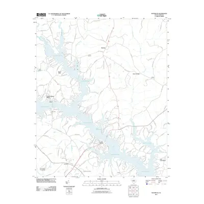
2011 Map of Waterloo
USGS Topo · Published 2011About this map
Lake Greenwood dominates this landscape, its sprawling fingers and inlets defining the geography of the South Carolina backcountry. The lake was formed by the damming of the Saluda River and the Reedy River, and this map captures the intricate shoreline where these waters meet. Along the northern reaches, the town of Waterloo serves as a central hub for the surrounding rural communities, while the settlement of Coronaca anchors the southwestern corner.
Find a feature on this map
133 named features on this map. Tap any name to fly to it.
Don’t see what you’re looking for? This feature index may not catch every label — zoom into the map to look around manually.
Map Details
Editions of this 2011 Waterloo Map
This is the sole edition of this map. No revisions or reprints were ever made.
Other maps of this area

1892 · Abbeville
USGS Topo · 1:125,000

1941 · Spartanburg
USGS Topo · 1:250,000

1949 · Ninety-Six
USGS Topo · 1:24,000

1949 · Greenwood
USGS Topo · 1:24,000

1953 · Spartanburg
USGS Topo · 1:250,000

1954 · Greenville
USGS Topo · 1:250,000

1958 · Greenville
USGS Topo · 1:250,000

1960 · Spartanburg
USGS Topo · 1:250,000

1963 · Spartanburg
USGS Topo · 1:250,000

1964 · Spartanburg
USGS Topo · 1:250,000