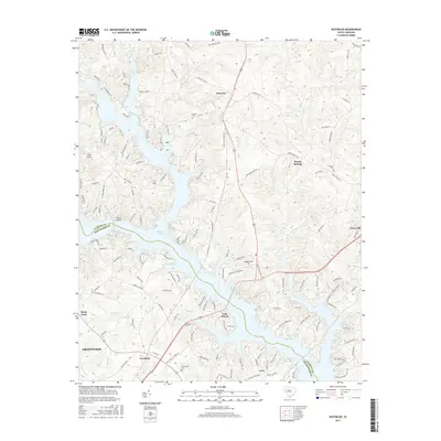
2017 Map of Waterloo
USGS Topo · Published 2017About this map
The Reedy River and the complex shoreline of Buzzard Roost dominate this 2017 study of the Laurens and Greenwood county line. The landscape reflects a mix of traditional crossroads and modern lakeside developments, where older settlements like Waterloo and Harris Springs meet newer residential clusters such as Burton Shores and Lake Shores. The map provides a clear look at the area's rural heritage through its numerous cemeteries, including Smyrna Cem and Franklin Cem, which serve as vital landmarks for genealogists tracing local families.
Find a feature on this map
139 named features on this map. Tap any name to fly to it.
Don’t see what you’re looking for? This feature index may not catch every label — zoom into the map to look around manually.
Map Details
Editions of this 2017 Waterloo Map
This is the sole edition of this map. No revisions or reprints were ever made.
Other maps of this area

1892 · Abbeville
USGS Topo · 1:125,000

1941 · Spartanburg
USGS Topo · 1:250,000

1949 · Ninety-Six
USGS Topo · 1:24,000

1949 · Greenwood
USGS Topo · 1:24,000

1953 · Spartanburg
USGS Topo · 1:250,000

1954 · Greenville
USGS Topo · 1:250,000

1958 · Greenville
USGS Topo · 1:250,000

1960 · Spartanburg
USGS Topo · 1:250,000

1963 · Spartanburg
USGS Topo · 1:250,000

1964 · Spartanburg
USGS Topo · 1:250,000