2024 Map of Waterloo
USGS Topo · Published 2024About this map
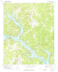
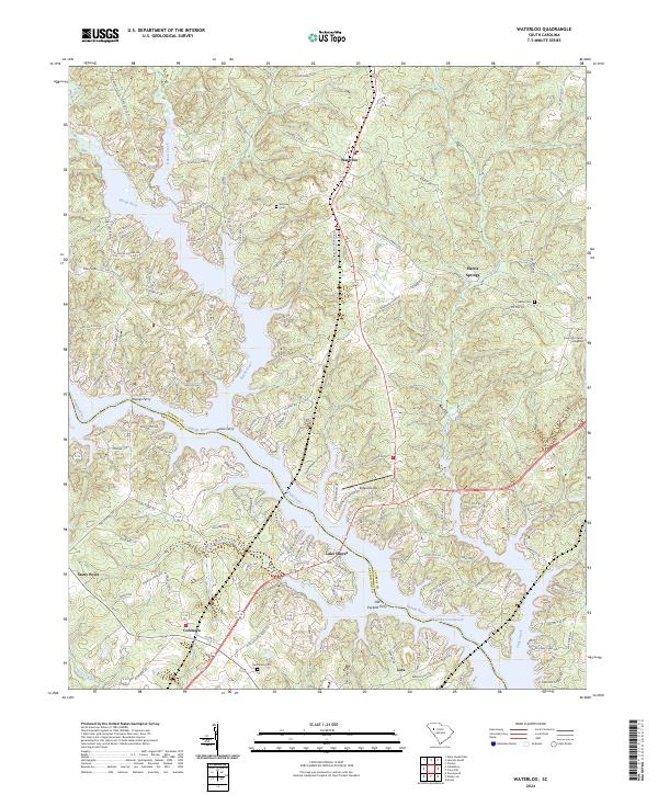
Lake Greenwood dominates the southern landscape of this Laurens and Greenwood County border region, where the Saluda River and Reedy River converge. The settlement of Waterloo serves as a central point for a network of rural roads and residential developments that follow the irregular fingers of the reservoir, such as Lake Shores and Burton Shores. The map documents a blend of contemporary lakeside living and long-standing rural community centers, including Harris Springs and Coronaca.
Find a feature on this map
166 named features on this map. Tap any name to fly to it.
Don’t see what you’re looking for? This feature index may not catch every label — zoom into the map to look around manually.
Map Details
Editions of this 2024 Waterloo Map
This is the sole edition of this map. No revisions or reprints were ever made.