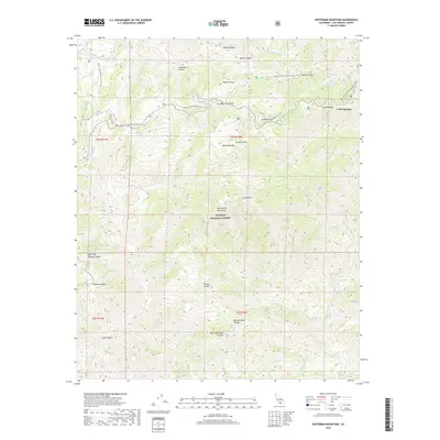
2018 Map of Waterman Mountain
USGS Topo · Published 2018About this map
Waterman Mtn and Twin Peaks anchor this section of the San Gabriel Mountains, where the Angeles National Forest covers a terrain of deep canyons and high ridges. The Pacific Crest National Scenic Trail winds across the northern half of the sheet, connecting landmarks such as Cloudburst Summit and Buckhorn Flat before tracing the edge of Kratka Ridge. The map documents a landscape defined by dramatic drainage systems, including the uniquely named Big Mermaids Canyon and Little Mermaids Canyon to the south.
Find a feature on this map
32 named features on this map. Tap any name to fly to it.
Don’t see what you’re looking for? This feature index may not catch every label — zoom into the map to look around manually.
Map Details
Editions of this 2018 Waterman Mountain Map
This is the sole edition of this map. No revisions or reprints were ever made.
Other maps of this area

1894 · Los Angeles
USGS Topo · 1:62,500

1894 · Pomona
USGS Topo · 1:62,500

1896 · Pasadena
USGS Topo · 1:62,500

1897 · Pomona
USGS Topo · 1:62,500

1898 · Pomona
USGS Topo · 1:62,500

1900 · Pasadena
USGS Topo · 1:62,500

1900 · Tujunga
USGS Topo · 1:62,500

1900 · Los Angeles
USGS Topo · 1:62,500

1901 · Southern California Sheet No. 1
USGS Topo · 1:250,000

1903 · Rock Creek
USGS Topo · 1:62,500