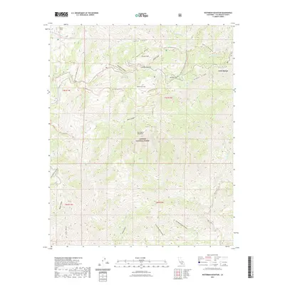
2021 Map of Waterman Mountain
USGS Topo · Published 2021About this map
Waterman Mtn stands as a central landmark in this high-elevation portion of the Angeles National Forest, where steep canyons and sharp ridgelines define the terrain. The landscape is interconnected by a network of significant routes, including the Pacific Crest National Scenic Trl which traverses the northern ridges near Winston Peak and Cloudburst Summit. This map illustrates the intricate drainage patterns of the San Gabriel Mountains, showing how seasonal waters carve through Devils Canyon and the branching reaches of Little Rock Cr. Small mountain outposts like Buckhorn Flat and Cedar Springs provide points of human settlement amidst the wilderness. The detailed contouring reveals the topographical complexity of the area, specifically around Twin Peaks and the southern slopes leading toward Big Mermaids Canyon, offering a precise record of the trails and natural features that define this part of Los Angeles County.
Find a feature on this map
45 named features on this map. Tap any name to fly to it.
Don’t see what you’re looking for? This feature index may not catch every label — zoom into the map to look around manually.
Map Details
Editions of this 2021 Waterman Mountain Map
This is the sole edition of this map. No revisions or reprints were ever made.
Other maps of this area

1894 · Los Angeles
USGS Topo · 1:62,500

1894 · Pomona
USGS Topo · 1:62,500

1896 · Pasadena
USGS Topo · 1:62,500

1897 · Pomona
USGS Topo · 1:62,500

1898 · Pomona
USGS Topo · 1:62,500

1900 · Pasadena
USGS Topo · 1:62,500

1900 · Tujunga
USGS Topo · 1:62,500

1900 · Los Angeles
USGS Topo · 1:62,500

1901 · Southern California Sheet No. 1
USGS Topo · 1:250,000

1903 · Rock Creek
USGS Topo · 1:62,500