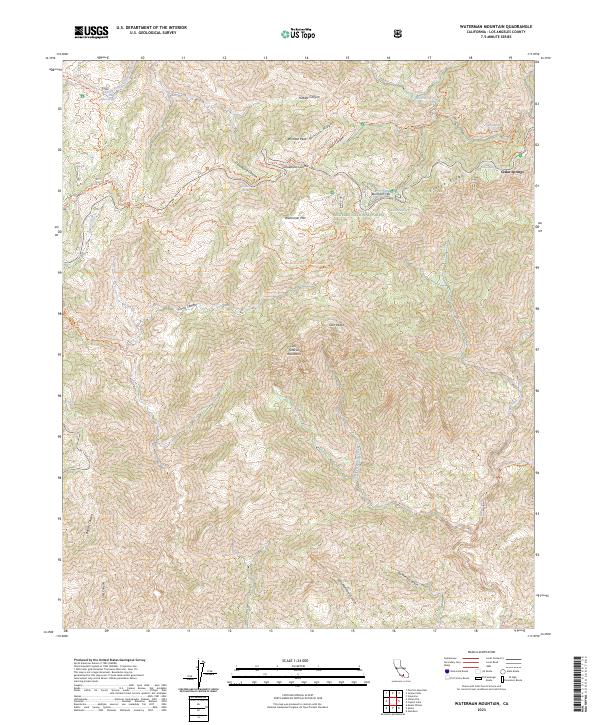
2023 Map of Waterman Mountain
USGS Topo · Published 2023About this map
Angeles National Forest dominates this high-altitude landscape in the San Gabriel Mountains, where protected wilderness areas and steep drainages define the geography. The terrain is a network of ridges and canyons, including Kratka Ridge and Cloudburst Canyon, that have long served as a corridor for back-country travel. The presence of the Pacific Crest National Scenic Trl and the Silver Moccasin National Recreation Trl highlights the area's significance for long-distance navigation through the transverse ranges.
Find a feature on this map
42 named features on this map. Tap any name to fly to it.
Don’t see what you’re looking for? This feature index may not catch every label — zoom into the map to look around manually.
Map Details
Editions of this 2023 Waterman Mountain Map
This is the sole edition of this map. No revisions or reprints were ever made.
Other maps of this area

1894 · Los Angeles
USGS Topo · 1:62,500

1894 · Pomona
USGS Topo · 1:62,500

1896 · Pasadena
USGS Topo · 1:62,500

1897 · Pomona
USGS Topo · 1:62,500

1898 · Pomona
USGS Topo · 1:62,500

1900 · Pasadena
USGS Topo · 1:62,500

1900 · Tujunga
USGS Topo · 1:62,500

1900 · Los Angeles
USGS Topo · 1:62,500

1901 · Southern California Sheet No. 1
USGS Topo · 1:250,000

1903 · Rock Creek
USGS Topo · 1:62,500