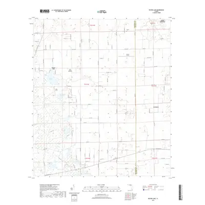
2018 Map of Waters Lake
USGS Topo · Published 2018About this map
Waters Lake and its surrounding wetlands dominate this landscape along the border of Alachua and Gilchrist counties. This 2018 survey documents a region defined by an intricate network of water bodies, including Christmas Lake, Dinner Pond, and the wide basin of the Waccasassa Flats. The settlement of Newberry appears on the eastern edge of the sheet, while smaller landmarks like Oak Tree Landing and Rush Airport reflect the rural character of the area.
Find a feature on this map
97 named features on this map. Tap any name to fly to it.
Don’t see what you’re looking for? This feature index may not catch every label — zoom into the map to look around manually.
Map Details
Editions of this 2018 Waters Lake Map
This is the sole edition of this map. No revisions or reprints were ever made.
Other maps of this area

1954 · Gainesville
USGS Topo · 1:250,000

1958 · Gainesville
USGS Topo · 1:250,000

1959 · Gainesville
USGS Topo · 1:250,000

1962 · High Springs
USGS Topo · 1:24,000

1968 · Newberry SW
USGS Topo · 1:24,000

1968 · Waters Lake
USGS Topo · 1:24,000
1968 · Archer
USGS Topo · 1:24,000

1968 · Newberry
USGS Topo · 1:24,000

1968 · Fourmile Lake
USGS Topo · 1:24,000

1968 · Trenton
USGS Topo · 1:24,000