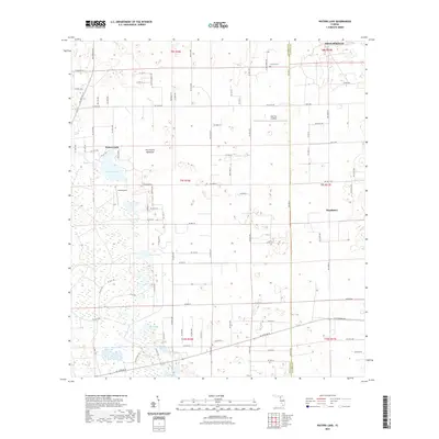
2021 Map of Waters Lake
USGS Topo · Published 2021About this map
The Gilchrist and Alachua County line bisects this region of North Central Florida, where the landscape is defined by a dense network of seasonal ponds and hammocks. To the north, High Springs marks the upper boundary of a terrain where water often gathers in depressions such as Waters Lake, Bogg Pond, and Dinner Pond. These isolated water bodies are characteristic of the local karst topography, creating a patchwork of wetlands and higher ground like Dry Prairie Hammock.
Find a feature on this map
94 named features on this map. Tap any name to fly to it.
Don’t see what you’re looking for? This feature index may not catch every label — zoom into the map to look around manually.
Map Details
Editions of this 2021 Waters Lake Map
This is the sole edition of this map. No revisions or reprints were ever made.
Other maps of this area

1954 · Gainesville
USGS Topo · 1:250,000

1958 · Gainesville
USGS Topo · 1:250,000

1959 · Gainesville
USGS Topo · 1:250,000

1962 · High Springs
USGS Topo · 1:24,000

1968 · Newberry SW
USGS Topo · 1:24,000

1968 · Waters Lake
USGS Topo · 1:24,000
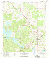
1968 · Archer
USGS Topo · 1:24,000

1968 · Newberry
USGS Topo · 1:24,000

1968 · Fourmile Lake
USGS Topo · 1:24,000

1968 · Trenton
USGS Topo · 1:24,000