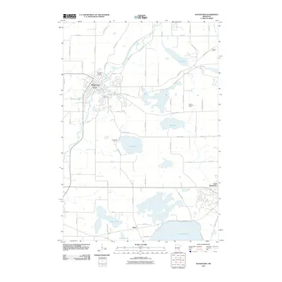
2010 Map of Watertown
USGS Topo · Published 2010About this map
The South Fork Crow River snakes through the landscape near Watertown, where the local street grid is anchored by the Watertown Post Office and historically significant sites like Saint Paul's Catholic Cemetery and Trinity Cemetery. This 2010 survey reflects a region defined by its numerous glacial lakes and recreational spaces, including the Timber Creek Golf Course and the recreational path of the Luce Line Trl.
Find a feature on this map
63 named features on this map. Tap any name to fly to it.
Don’t see what you’re looking for? This feature index may not catch every label — zoom into the map to look around manually.
Map Details
Editions of this 2010 Watertown Map
This is the sole edition of this map. No revisions or reprints were ever made.
Other maps of this area

1905 · Minnetonka
USGS Topo · 1:62,500

1907 · Minnetonka
USGS Topo · 1:62,500

1909 · Rockford
USGS Topo · 1:62,500

1953 · Saint Paul
USGS Topo · 1:250,000

1953 · Stillwater
USGS Topo · 1:250,000

1955 · Stillwater
USGS Topo · 1:250,000

1957 · Waconia
USGS Topo · 1:62,500

1958 · Stillwater
USGS Topo · 1:250,000

1958 · Victoria
USGS Topo · 1:24,000

1958 · Rockford
USGS Topo · 1:62,500