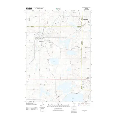
2013 Map of Watertown
USGS Topo · Published 2013About this map
Watertown serves as the primary hub of this landscape, situated along the South Fork Crow River. The settlement pattern in this part of Carver and Hennepin Counties is defined by its numerous water bodies and legacy burial sites. The map documents several important community markers, including Saint Paul's Catholic Cem, Trinity Cem, and Oakland Cem, which provide essential points of reference for local family history.
Find a feature on this map
94 named features on this map. Tap any name to fly to it.
Don’t see what you’re looking for? This feature index may not catch every label — zoom into the map to look around manually.
Map Details
Editions of this 2013 Watertown Map
This is the sole edition of this map. No revisions or reprints were ever made.
Other maps of this area

1905 · Minnetonka
USGS Topo · 1:62,500

1907 · Minnetonka
USGS Topo · 1:62,500

1909 · Rockford
USGS Topo · 1:62,500

1953 · Saint Paul
USGS Topo · 1:250,000

1953 · Stillwater
USGS Topo · 1:250,000

1955 · Stillwater
USGS Topo · 1:250,000

1957 · Waconia
USGS Topo · 1:62,500

1958 · Stillwater
USGS Topo · 1:250,000

1958 · Victoria
USGS Topo · 1:24,000

1958 · Rockford
USGS Topo · 1:62,500