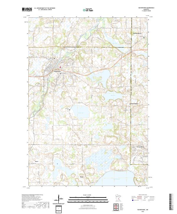
2022 Map of Watertown
USGS Topo · Published 2022About this map
The South Fork Crow River meanders through this landscape, defining the geographic orientation of Watertown and its surrounding townships. This 2022 survey captures a cluster of settlements including Independence, Mayer, and St. Bonifacius, positioned near the borders where Wright, Carver, and Hennepin counties meet. The area is characterized by its numerous water bodies, from the expansive Lake Waconia along the southern edge to smaller features like Swede Lake, Rice Lake, and Goose Lake.
Find a feature on this map
115 named features on this map. Tap any name to fly to it.
Don’t see what you’re looking for? This feature index may not catch every label — zoom into the map to look around manually.
Map Details
Editions of this 2022 Watertown Map
This is the sole edition of this map. No revisions or reprints were ever made.
Other maps of this area

1905 · Minnetonka
USGS Topo · 1:62,500

1907 · Minnetonka
USGS Topo · 1:62,500

1909 · Rockford
USGS Topo · 1:62,500

1953 · Saint Paul
USGS Topo · 1:250,000

1953 · Stillwater
USGS Topo · 1:250,000

1955 · Stillwater
USGS Topo · 1:250,000

1957 · Waconia
USGS Topo · 1:62,500

1958 · Stillwater
USGS Topo · 1:250,000

1958 · Victoria
USGS Topo · 1:24,000

1958 · Rockford
USGS Topo · 1:62,500