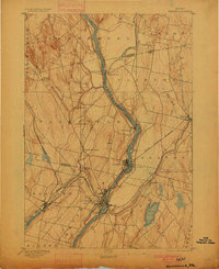
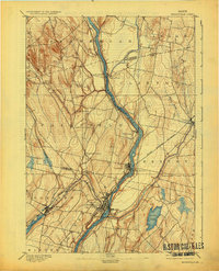
1892 Map of Waterville
USGS Topo · Published 1900About this map
The Kennebec River serves as the central artery of this late 19th-century landscape, dictating the placement of industrial hubs and transit crossings. At Waterville, the concentration of structures along the riverbanks reflects its role as a manufacturing and transportation center where the Maine Central Railroad meets the water. To the west, Oakland sits prominently on the shores of Messalonskee Lake, while the Somerset Railroad cuts through the western terrain toward Larone. Smaller, river-dependent settlements like Shawmut and Benton Falls highlight the localized power of the Kennebec and Sebasticook River for milling and industry. Further upstream, Pishon Ferry marks an important early crossing point before the widespread adoption of modern bridging, situated near the Somerset Kennebec County Line. The map illustrates a region transitioning from isolated agricultural hamlets like Fairfield Center to a more integrated rail-and-water economy.
Find a feature on this map
34 named features on this map. Tap any name to fly to it.
Don’t see what you’re looking for? This feature index may not catch every label — zoom into the map to look around manually.
Map Details
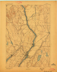
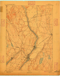
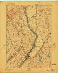
Editions of this 1892 Waterville Map
7 editions found
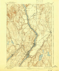
Other maps of this area

1892 · Waterville
USGS Topo · 1:62,500

1892 · Augusta
USGS Topo · 1:62,500

1893 · Vassalboro
USGS Topo · 1:62,500

1894 · Norridgewock
USGS Topo · 1:62,500

1898 · Norridgewock
USGS Topo · 1:62,500

1898 · Vassalboro
USGS Topo · 1:62,500

1904 · Anson
USGS Topo · 1:62,500

1913 · Skowhegan
USGS Topo · 1:62,500

1916 · Liberty
USGS Topo · 1:62,500

1926 · Burnham
USGS Topo · 1:62,500