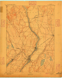
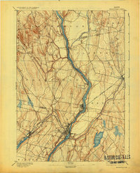
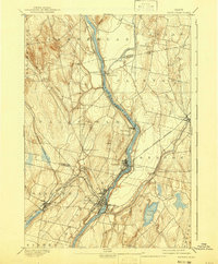
1892 Map of Waterville
USGS Topo · Published 1909About this map
Waterville serves as the industrial and transportation hub of this Central Maine landscape, situated at the confluence where the Sebasticook River meets the Kennebec River. The 1890 survey illustrates a region deeply connected by rail, with the Maine Central Railroad and the Somerset Railroad converging to move goods and passengers through the river valleys. Smaller riverside settlements like Shawmut and Benton Falls highlight the localized power of the Kennebec’s water for early industry.
Find a feature on this map
33 named features on this map. Tap any name to fly to it.
Don’t see what you’re looking for? This feature index may not catch every label — zoom into the map to look around manually.
Map Details
Editions of this 1892 Waterville Map
7 editions found
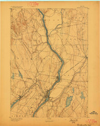
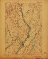
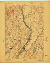
Other maps of this area

1892 · Waterville
USGS Topo · 1:62,500

1892 · Augusta
USGS Topo · 1:62,500

1893 · Vassalboro
USGS Topo · 1:62,500

1894 · Norridgewock
USGS Topo · 1:62,500

1898 · Norridgewock
USGS Topo · 1:62,500

1898 · Vassalboro
USGS Topo · 1:62,500

1904 · Anson
USGS Topo · 1:62,500

1913 · Skowhegan
USGS Topo · 1:62,500

1916 · Liberty
USGS Topo · 1:62,500

1926 · Burnham
USGS Topo · 1:62,500