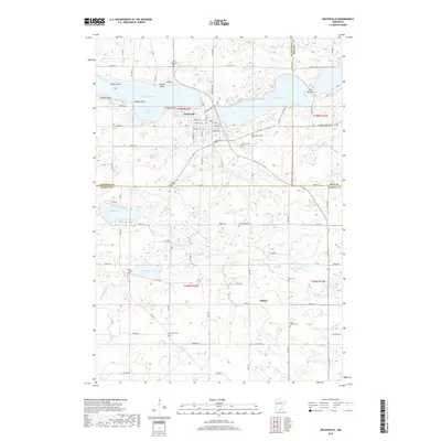
2019 Map of Waterville
USGS Topo · Published 2019About this map
Waterville sits as a primary hub between the waters of Tetonka Lake and Sakatah Lake, where the flow of White Water Cr connects these major basins. The settlement pattern here is defined by its proximity to the shoreline, with distinctive points like Crams Point, McPete Point, and Rocky Point reaching into the lakes. To the east, the landscape narrows significantly at The Narrows before widening back into the larger body of Sakatah Lake.
Find a feature on this map
92 named features on this map. Tap any name to fly to it.
Don’t see what you’re looking for? This feature index may not catch every label — zoom into the map to look around manually.
Map Details
Editions of this 2019 Waterville Map
This is the sole edition of this map. No revisions or reprints were ever made.
Other maps of this area

1953 · Saint Paul
USGS Topo · 1:250,000

1959 · Saint Paul
USGS Topo · 1:250,000

1960 · Shieldsville
USGS Topo · 1:24,000

1962 · Morristown
USGS Topo · 1:24,000

1962 · Meriden
USGS Topo · 1:24,000

1966 · Waseca
USGS Topo · 1:24,000

1966 · Janesville
USGS Topo · 1:24,000

1966 · Waterville
USGS Topo · 1:24,000

1966 · Cordova
USGS Topo · 1:24,000

1966 · Elysian
USGS Topo · 1:24,000