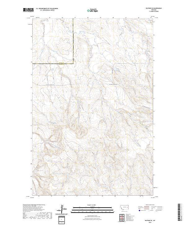
2024 Map of Watkins SE
USGS Topo · Published 2024About this map
Combs Ranch sits within a landscape defined by the drainage networks of the Redwater River and Lisk Creek. This corner of eastern Montana, straddling the McCone Co and Prairie Co boundary, exhibits the characteristic section-line development and topographic relief of the region's ranching country. The map illustrates a sparse but critical water infrastructure, highlighting features like Morton Spring and the flow of the East Branch Timber Creek. Connectivity across these breaks and coulees is maintained by primitive routes such as Big Sheep Mountain Rd and Duck Creek Rd. This survey serves as a modern record of land divisions and hydrologic features in a high-plains environment where water sources and family ranch holdings dictate the layout of the land.
Find a feature on this map
15 named features on this map. Tap any name to fly to it.
Don’t see what you’re looking for? This feature index may not catch every label — zoom into the map to look around manually.
Map Details
Editions of this 2024 Watkins SE Map
This is the sole edition of this map. No revisions or reprints were ever made.
Other maps of this area

1953 · Miles City
USGS Topo · 1:250,000

1954 · Glendive
USGS Topo · 1:250,000

1957 · Miles City
USGS Topo · 1:250,000

1957 · Glendive
USGS Topo · 1:250,000

1958 · Miles City
USGS Topo · 1:250,000

1958 · Glendive
USGS Topo · 1:250,000

1965 · Little Sheep Mountain
USGS Topo · 1:24,000

1965 · Heitz School
USGS Topo · 1:24,000
1965 · Combs Ranch
USGS Topo · 1:24,000

1965 · Watkins SE
USGS Topo · 1:24,000