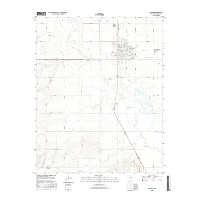
2016 Map of Watonga
USGS Topo · Published 2016About this map
The Watonga townsite anchors this 2016 survey, showcasing the street grid of the Blaine County seat alongside its rural surroundings. This modern record of the plains landscape highlights several important genealogical sites, including the Watonga Independent Order of Odd Fellows Cem on the east side of town and the more remote Worrells Cem and Pinkerton Cem situated to the southwest.
Find a feature on this map
58 named features on this map. Tap any name to fly to it.
Don’t see what you’re looking for? This feature index may not catch every label — zoom into the map to look around manually.
Map Details
Editions of this 2016 Watonga Map
This is the sole edition of this map. No revisions or reprints were ever made.
Other maps of this area

1942 · Geary
USGS Topo · 1:62,500

1955 · Clinton
USGS Topo · 1:250,000

1957 · Clinton
USGS Topo · 1:250,000

1964 · Oakwood
USGS Topo · 1:62,500

1964 · Weatherford
USGS Topo · 1:62,500

1972 · Watonga
USGS Topo · 1:24,000

1972 · Watonga SE
USGS Topo · 1:24,000
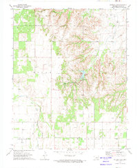
1972 · Watonga Lake
USGS Topo · 1:24,000
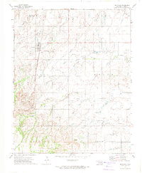
1972 · Hitchcock
USGS Topo · 1:24,000
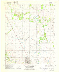
1979 · Geary North
USGS Topo · 1:24,000