
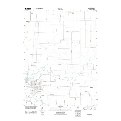
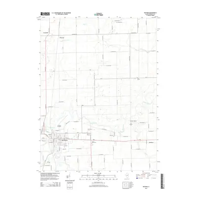
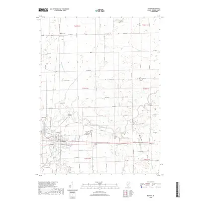
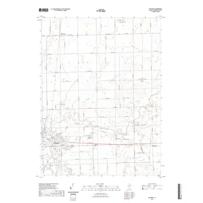
1984 Map of Watseka
USGS Topo · Published 1985About this map
The Iroquois River and its many tributaries, such as Sugar Creek and Beaver Creek, anchor this mid-1980s landscape across the Illinois-Indiana border. Centered on Watseka, the area is defined by a dense grid of agricultural drainage ditches and a robust network of railroads including the Atchison Topeka and Santa Fe and Conrail. These rail lines connect numerous rural farming communities like Milford, Sheldon, and Cissna Park, illustrating the transport-heavy infrastructure required for regional grain production.
Find a feature on this map
146 named features on this map. Tap any name to fly to it.
Don’t see what you’re looking for? This feature index may not catch every label — zoom into the map to look around manually.
Map Details
Editions of this 1984 Watseka Map
This is the sole edition of this map. No revisions or reprints were ever made.
Historical Maps of Rensselaer Through Time
10 maps found
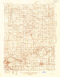
1935 Watseka
Iroquois County, IL
1939 Watseka
Iroquois County, IL
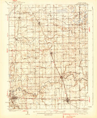
1964 Watseka
Iroquois County, IL
1984 Watseka
Iroquois County, IL

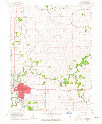
1990 Watseka
Iroquois County, IL
2012 Watseka
Iroquois County, IL
2015 Watseka
Iroquois County, IL
2018 Watseka
Iroquois County, IL
2021 Watseka
Iroquois County, IL
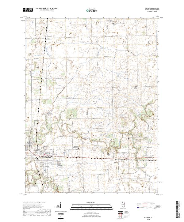
2024 Watseka
Iroquois County, IL