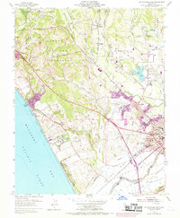
1954 Map of Watsonville West
USGS Topo · Published 1969About this map
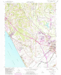
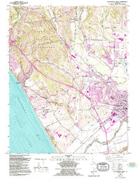
Monterey Bay Academy and the coastal bluffs overlooking Monterey Bay anchor this mid-century survey of the Santa Cruz coastline. The landscape is defined by the transition from the sandy reaches of Manresa State Beach and Sunset Beach to the productive agricultural lands and sloughs of the lower Pajaro River valley. Residential expansion is evident around Freedom and Watsonville, with newer urban developments from the late 1960s highlighted in purple. Inland, the map reveals a complex network of valleys like Larkins Valley and Green Valley, where rural life is centered around institutions such as Corralitos Union Sch and the Filtration Plant. The Southern Pacific railroad line tracks the coast and interior, reflecting the enduring importance of rail transport for the region's produce and industry during this era of growth.
Find a feature on this map
67 named features on this map. Tap any name to fly to it.
Don’t see what you’re looking for? This feature index may not catch every label — zoom into the map to look around manually.
Map Details
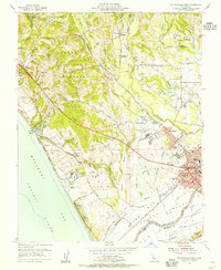
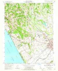
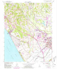
Editions of this 1954 Watsonville West Map
6 editions found
Other maps of this area

1912 · Capitola
USGS Topo · 1:62,500

1914 · Capitola
USGS Topo · 1:62,500

1915 · San Juan Bautista
USGS Topo · 1:48,000

1916 · New Almaden
USGS Topo · 1:48,000

1917 · Morgan Hill
USGS Topo · 1:62,500

1917 · San Juan Bautista
USGS Topo · 1:62,500

1919 · New Almaden
USGS Topo · 1:62,500

1939 · Morgan Hill
USGS Topo · 1:62,500

1939 · San Juan Bautista
USGS Topo · 1:62,500

1940 · San Juan Bautista
USGS Topo · 1:62,500