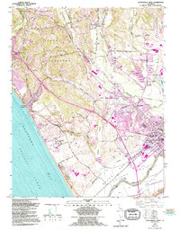
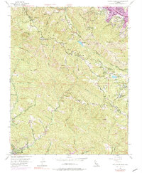
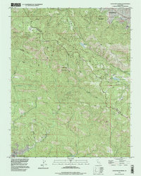
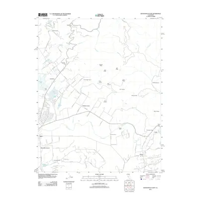
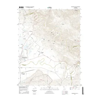
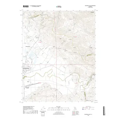
1954 Map of Watsonville West
USGS Topo · Published 1994About this map
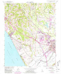
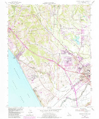
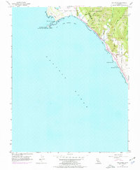
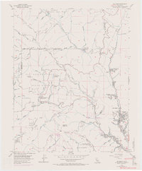
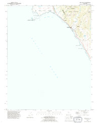
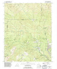
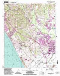
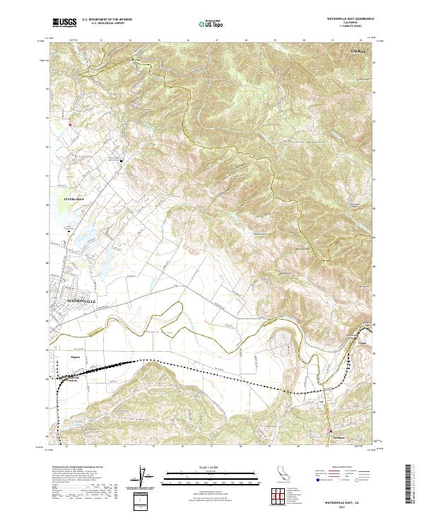
Monterey Bay and the fertile lowlands of the Bolsa del Pajaro define this coastal landscape during a period of significant mid-century expansion. The agricultural and transport hub of Watsonville serves as the focal point, where the Southern Pacific railroad line intersects with an intricate network of waterways including Harkins Slough, Struve Slough, and Watsonville Creek. The map documents the growth of residential and industrial sectors near the Watsonville Municipal Airport and the neighboring community of Freedom.
Find a feature on this map
70 named features on this map. Tap any name to fly to it.
Don’t see what you’re looking for? This feature index may not catch every label — zoom into the map to look around manually.
Map Details
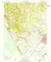
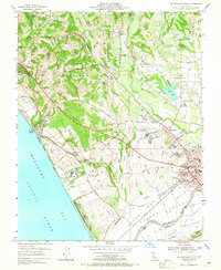
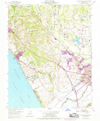
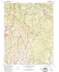
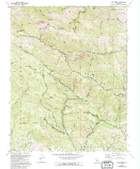
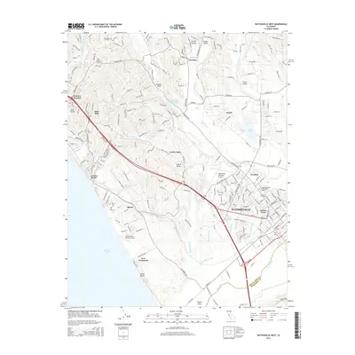
Editions of this 1954 Watsonville West Map
6 editions found
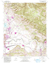
Historical Maps of Watsonville Through Time
49 maps found
1954 Watsonville West
Santa Cruz County, CA
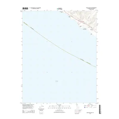
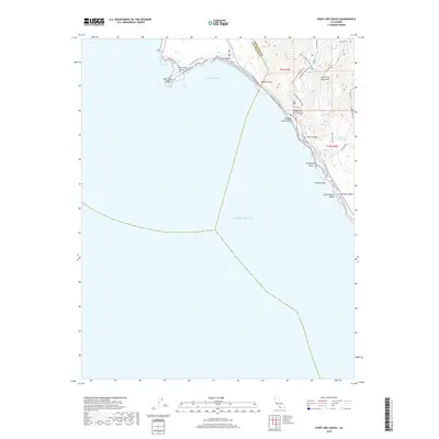
1955 Ano Nuevo
Santa Cruz County, CA
1955 Big Basin
Santa Cruz County, CA
1955 Castle Rock Ridge
Santa Cruz County, CA
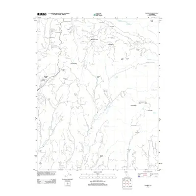
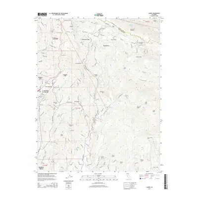
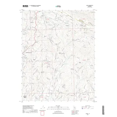
1955 Laurel
Santa Cruz County, CA
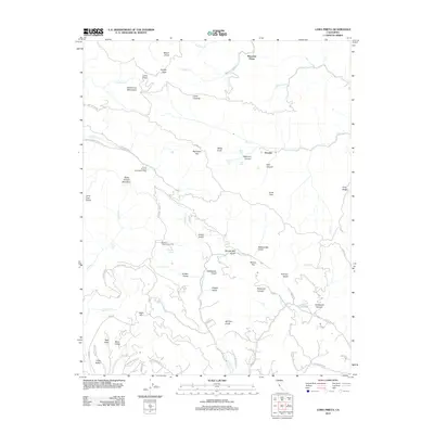
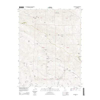
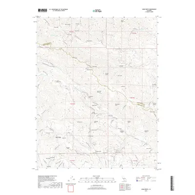
1955 Loma Prieta
Santa Cruz County, CA
1955 Watsonville East
Santa Cruz County, CA
1991 Ano Nuevo
Santa Cruz County, CA
1991 Big Basin
Santa Cruz County, CA
1991 Castle Rock Ridge
Santa Cruz County, CA
1995 Watsonville East
Santa Cruz County, CA
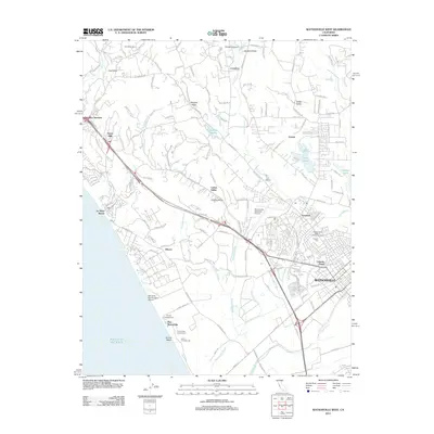
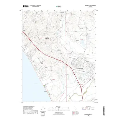
1995 Watsonville West
Santa Cruz County, CA
1996 Laurel
Santa Cruz County, CA
1996 Loma Prieta
Santa Cruz County, CA
1997 Big Basin
Santa Cruz County, CA
1997 Castle Rock Ridge
Santa Cruz County, CA
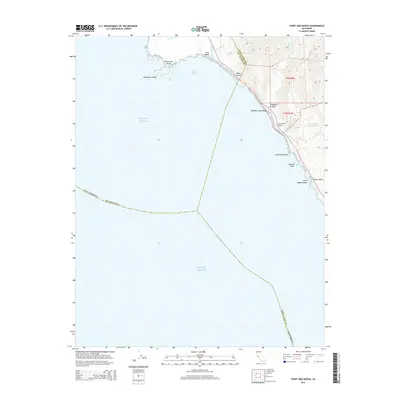
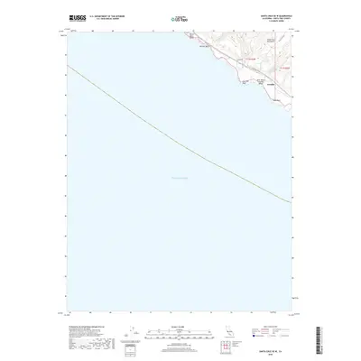
1997 Point Ano Nuevo
Santa Cruz County, CA
2012 Big Basin
Santa Cruz County, CA
2012 Castle Rock Ridge
Santa Cruz County, CA
2012 Laurel
Santa Cruz County, CA
2012 Loma Prieta
Santa Cruz County, CA
2012 Point Ano Nuevo
Santa Cruz County, CA
2012 Santa Cruz OE W
Santa Cruz County, CA
2012 Watsonville East
Santa Cruz County, CA
2012 Watsonville West
Santa Cruz County, CA
2015 Big Basin
Santa Cruz County, CA
2015 Castle Rock Ridge
Santa Cruz County, CA
2015 Laurel
Santa Cruz County, CA
2015 Loma Prieta
Santa Cruz County, CA
2015 Point Ano Nuevo
Santa Cruz County, CA
2015 Santa Cruz OE W
Santa Cruz County, CA
2015 Watsonville East
Santa Cruz County, CA
2015 Watsonville West
Santa Cruz County, CA
2018 Big Basin
Santa Cruz County, CA
2018 Castle Rock Ridge
Santa Cruz County, CA
2018 Laurel
Santa Cruz County, CA
2018 Loma Prieta
Santa Cruz County, CA
2018 Point Ano Nuevo
Santa Cruz County, CA
2018 Santa Cruz OE W
Santa Cruz County, CA
2018 Watsonville East
Santa Cruz County, CA
2018 Watsonville West
Santa Cruz County, CA
2021 Big Basin
Santa Cruz County, CA
2021 Castle Rock Ridge
Santa Cruz County, CA
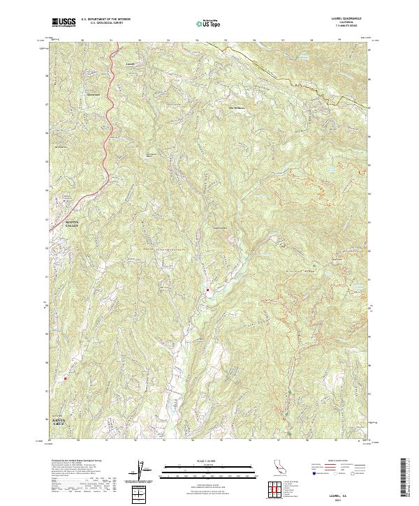
2021 Laurel
Santa Cruz County, CA
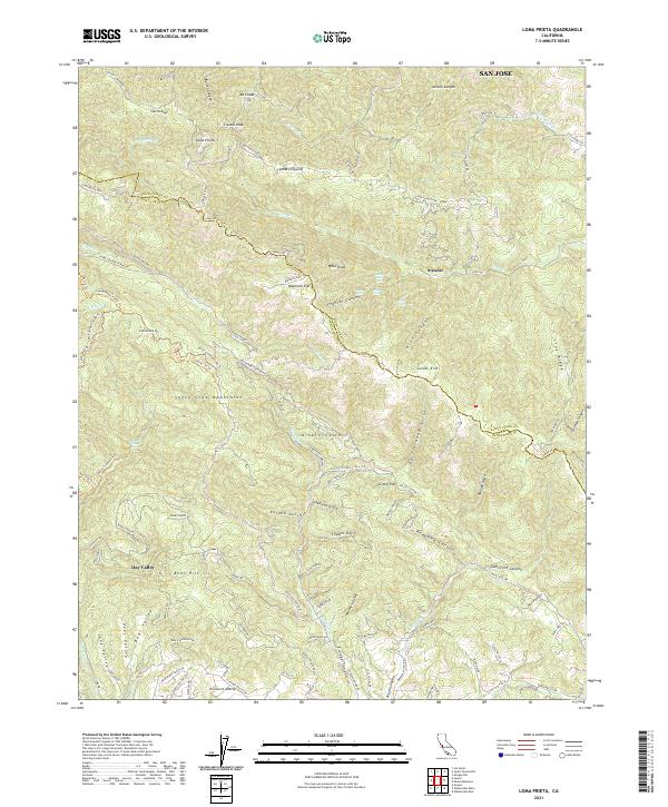
2021 Loma Prieta
Santa Cruz County, CA
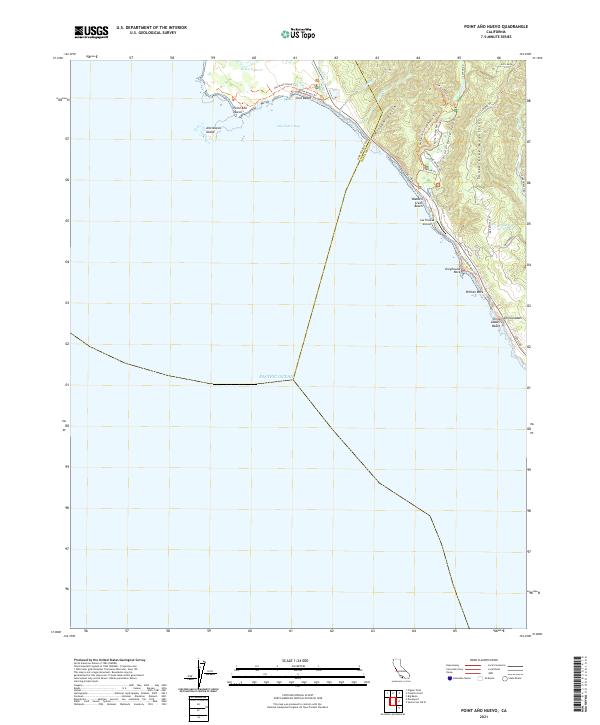
2021 Point Ano Nuevo
Santa Cruz County, CA
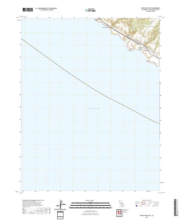
2021 Santa Cruz OE W
Santa Cruz County, CA
2021 Watsonville East
Santa Cruz County, CA

2021 Watsonville West
Santa Cruz County, CA