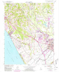
1954 Map of Watsonville West
USGS Topo · Published 1981About this map
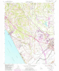
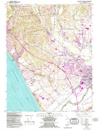
Watsonville and the surrounding agricultural valleys of the Monterey Bay coastline are captured here in a moment of transition during the mid-20th century. The settlement pattern follows the fertile plains of Bolsa Del Pajaro and San Andres, where a complex network of sloughs, including Harkins Slough and Struve Slough, weave through the landscape toward the Pacific Ocean. This survey highlights the region's educational and civic infrastructure, from the Monterey Bay Academy on the coast to Monte Vista Christian Sch and Corralitos Union Sch further inland. The transportation network is defined by the Southern Pacific rail line and the expanding Watsonville Municipal Airport, while the coastal margins are preserved as Manresa State Beach and Sunset State Beach. The map serves as a vital record of land use before the further urbanization of the Santa Cruz and Monterey county borderlands.
Find a feature on this map
63 named features on this map. Tap any name to fly to it.
Don’t see what you’re looking for? This feature index may not catch every label — zoom into the map to look around manually.
Map Details
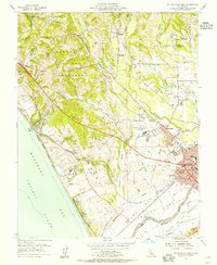
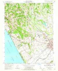
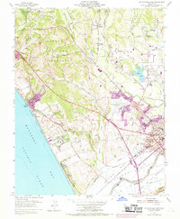
Editions of this 1954 Watsonville West Map
6 editions found
Other maps of this area

1912 · Capitola
USGS Topo · 1:62,500

1914 · Capitola
USGS Topo · 1:62,500

1915 · San Juan Bautista
USGS Topo · 1:48,000

1916 · New Almaden
USGS Topo · 1:48,000

1917 · Morgan Hill
USGS Topo · 1:62,500

1917 · San Juan Bautista
USGS Topo · 1:62,500

1919 · New Almaden
USGS Topo · 1:62,500

1939 · Morgan Hill
USGS Topo · 1:62,500

1939 · San Juan Bautista
USGS Topo · 1:62,500

1940 · San Juan Bautista
USGS Topo · 1:62,500