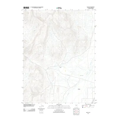
2011 Map of Watts
USGS Topo · Published 2011About this map
Reese River and Fish Creek define this arid landscape in central Nevada, where water dictated the location of early ranching and small-scale settlement. The presence of Watts (Historical) indicates a site of earlier activity that has since receded, while Fish Creek Ranch serves as a modern link to the region's enduring agricultural heritage. Roads like Fish Creek Rd provide access through the open terrain, which includes the evocatively named Valley of the Moon. The sparse concentration of named features reflects the expansive nature of Lander County, illustrating how isolated outposts and seasonal waterways formed the backbone of the local geography at the start of the 21st century.
Find a feature on this map
6 named features on this map. Tap any name to fly to it.
Don’t see what you’re looking for? This feature index may not catch every label — zoom into the map to look around manually.
Map Details
Editions of this 2011 Watts Map
This is the sole edition of this map. No revisions or reprints were ever made.
Other maps of this area

1932 · Sonoma Range
USGS Topo · 1:250,000

1939 · Sonoma Range
USGS Topo · 1:250,000

1955 · Winnemucca
USGS Topo · 1:250,000

1958 · Winnemucca
USGS Topo · 1:250,000

1961 · McCoy
USGS Topo · 1:62,500

1961 · The Cedars
USGS Topo · 1:62,500

1961 · Mt. Moses
USGS Topo · 1:62,500

1962 · Winnemucca
USGS Topo · 1:250,000

1962 · Buffalo Springs
USGS Topo · 1:62,500

1982 · Fish Creek Mts
USGS Topo · 1:100,000