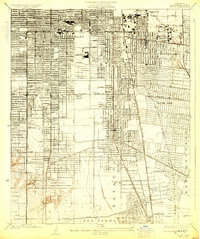
1924 Map of Watts
USGS Topo · Published 1930About this map
Industrial expansion and transit corridors define this 1920s landscape as Los Angeles pushes southward through the San Antonio and San Pedro districts. The prominent footprint of the Goodyear Rubber Co near Florence signals the era’s manufacturing boom, while the dense network of the Pacific Electric and Southern Pacific railroads underscores the importance of rail transit before the dominance of the freeway system.
Find a feature on this map
30 named features on this map. Tap any name to fly to it.
Don’t see what you’re looking for? This feature index may not catch every label — zoom into the map to look around manually.
Map Details
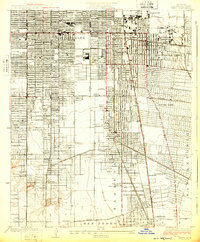
Editions of this 1924 Watts Map
2 editions found
Other maps of this area

1894 · Los Angeles
USGS Topo · 1:62,500

1896 · Pasadena
USGS Topo · 1:62,500

1896 · Redondo
USGS Topo · 1:62,500

1896 · Santa Monica
USGS Topo · 1:62,500

1896 · Downey
USGS Topo · 1:62,500

1898 · Santa Monica
USGS Topo · 1:62,500

1899 · Downey
USGS Topo · 1:62,500

1900 · Pasadena
USGS Topo · 1:62,500

1900 · Los Angeles
USGS Topo · 1:62,500

1901 · Southern California Sheet No. 1
USGS Topo · 1:250,000