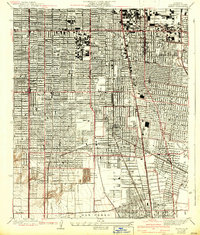
1937 Map of Watts
USGS Topo · Published 1942About this map
The Pacific Electric and Southern Pacific rail lines define the industrial and residential grid of South Los Angeles during this mid-century period. The map documents the dense urban growth expanding through Watts, Florence, and Graham, where residential blocks are punctuated by significant institutional landmarks like Pepperdine College and Jordan High Sch. The landscape reflects the regional importance of the petroleum industry, notably marked by the large General Petroleum Tank Farm near Athens.
Find a feature on this map
40 named features on this map. Tap any name to fly to it.
Don’t see what you’re looking for? This feature index may not catch every label — zoom into the map to look around manually.
Map Details
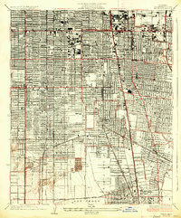
Editions of this 1937 Watts Map
2 editions found
Other maps of this area

1894 · Los Angeles
USGS Topo · 1:62,500

1896 · Pasadena
USGS Topo · 1:62,500

1896 · Redondo
USGS Topo · 1:62,500

1896 · Santa Monica
USGS Topo · 1:62,500

1896 · Downey
USGS Topo · 1:62,500

1898 · Santa Monica
USGS Topo · 1:62,500

1899 · Downey
USGS Topo · 1:62,500

1900 · Pasadena
USGS Topo · 1:62,500

1900 · Los Angeles
USGS Topo · 1:62,500

1901 · Southern California Sheet No. 1
USGS Topo · 1:250,000