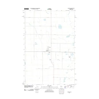
2011 Map of Waubun
USGS Topo · Published 2011About this map
Waubun serves as the primary settlement hub on this Mahnomen County landscape, centered around its local infrastructure and historical sites. The community is anchored by the Waubun Post Office and surrounded by significant local landmarks such as Saint Anns Cemetery and the larger Waubun Cemetery to the south. The area is defined by a dense network of township and county roads that navigate a water-rich terrain of glacial lakes and prairie wetlands.
Find a feature on this map
34 named features on this map. Tap any name to fly to it.
Don’t see what you’re looking for? This feature index may not catch every label — zoom into the map to look around manually.
Map Details
Editions of this 2011 Waubun Map
This is the sole edition of this map. No revisions or reprints were ever made.
Other maps of this area

1918 · Flom
USGS Topo · 1:62,500

1952 · Grand Forks
USGS Topo · 1:250,000

1954 · Bemidji
USGS Topo · 1:250,000

1956 · Grand Forks
USGS Topo · 1:250,000

1957 · Bemidji
USGS Topo · 1:250,000

1958 · Bemidji
USGS Topo · 1:250,000

1966 · Grand Forks
USGS Topo · 1:250,000
1966 · Flom SE
USGS Topo · 1:24,000
1966 · Flom NE
USGS Topo · 1:24,000
1966 · Faith
USGS Topo · 1:24,000