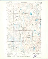
1969 Map of Waubun
USGS Topo · Published 1971About this map
Waubun serves as the central hub of this northern Minnesota landscape, situated within the bounds of the White Earth Indian Reservation. The settlement is flanked by township divisions including Popple Grove, Lake Grove, and Pembina, reflecting a traditional Midwestern grid layout interspersed with numerous natural wetlands. Religious and community history is anchored by St Anns Cem and Waubun Cem, while the regional economy shows traces of extractive work at the local Sandpit and Gravel Pit.
Find a feature on this map
22 named features on this map. Tap any name to fly to it.
Don’t see what you’re looking for? This feature index may not catch every label — zoom into the map to look around manually.
Map Details
Editions of this 1969 Waubun Map
This is the sole edition of this map. No revisions or reprints were ever made.
Other maps of this area
1918 · Flom
USGS Topo · 1:62,500

1952 · Grand Forks
USGS Topo · 1:250,000

1954 · Bemidji
USGS Topo · 1:250,000

1956 · Grand Forks
USGS Topo · 1:250,000

1957 · Bemidji
USGS Topo · 1:250,000

1958 · Bemidji
USGS Topo · 1:250,000
1966 · Grand Forks
USGS Topo · 1:250,000
1966 · Flom SE
USGS Topo · 1:24,000
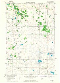
1966 · Flom NE
USGS Topo · 1:24,000
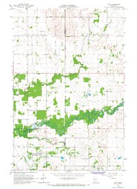
1966 · Faith
USGS Topo · 1:24,000