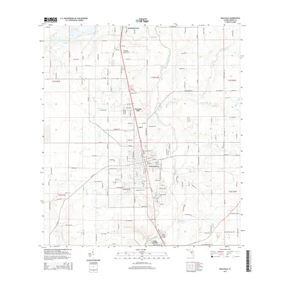
2015 Map of Wauchula
USGS Topo · Published 2015About this map
The Peace River corridor serves as the primary geographical spine for this 2015 survey, flowing south through the heart of Hardee County. The city of Wauchula dominates the central portion of the map, showing a dense grid of streets and the local Post Office near the river's edge. Further north, the smaller settlements of Bowling Green, Torrey, and Coker follow the transportation routes that mirror the river’s path. This modern topographic view reveals the extensive drainage network of the Florida interior, where numerous creeks and branches like Payne Creek, Thompson Branch, and Little Charlie Creek feed into the main river valley.
Find a feature on this map
155 named features on this map. Tap any name to fly to it.
Don’t see what you’re looking for? This feature index may not catch every label — zoom into the map to look around manually.
Map Details
Editions of this 2015 Wauchula Map
This is the sole edition of this map. No revisions or reprints were ever made.
Other maps of this area

1955 · Ft. Green
USGS Topo · 1:24,000

1955 · Bowling Green
USGS Topo · 1:24,000

1955 · Wauchula
USGS Topo · 1:24,000

1955 · Baird
USGS Topo · 1:24,000

1956 · Ona
USGS Topo · 1:24,000

1956 · Bereah
USGS Topo · 1:24,000

1956 · Sweetwater
USGS Topo · 1:24,000

1956 · Zolfo Springs
USGS Topo · 1:24,000

1956 · Griffins Corner
USGS Topo · 1:24,000

1956 · Fort Pierce
USGS Topo · 1:250,000