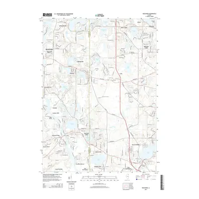
2015 Map of Wauconda
USGS Topo · Published 2015About this map
Wauconda and its surrounding glacial lake landscape dominate this mid-2010s survey, capturing the dense residential developments and extensive wetland networks of northeastern Illinois. The map tracks the complex hydrology of the region, from the primary channel of the Fox River on the west to interior bodies like Bangs Lake, Slocum Lake, and Wooster Lake. The drainage patterns are clearly defined by Mutton Creek and the Lily Lake Drain, which connect various basins through a landscape of rolling terrain and suburban expansion.
Find a feature on this map
95 named features on this map. Tap any name to fly to it.
Don’t see what you’re looking for? This feature index may not catch every label — zoom into the map to look around manually.
Map Details
Editions of this 2015 Wauconda Map
This is the sole edition of this map. No revisions or reprints were ever made.
Other maps of this area

1920 · Grays Lake
USGS Topo · 1:62,500

1923 · Grays Lake
USGS Topo · 1:62,500

1923 · Barrington
USGS Topo · 1:62,500

1925 · Elgin
USGS Topo · 1:62,500

1926 · Mc Henry
USGS Topo · 1:62,500

1935 · Barrington
USGS Topo · 1:62,500

1940 · Elgin
USGS Topo · 1:62,500

1944 · McHenry
USGS Topo · 1:62,500

1954 · Rockford
USGS Topo · 1:250,000

1955 · Rockford
USGS Topo · 1:250,000