Loading...
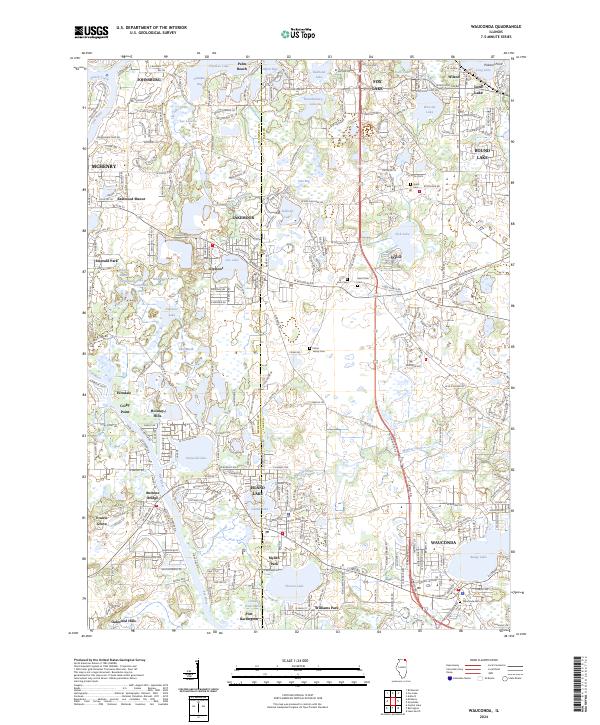
Loading map...2024 Map of Wauconda
USGS Topo · Published 2024About this map
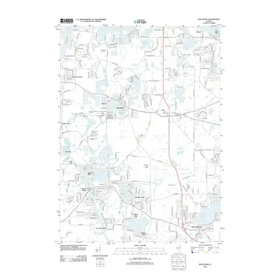
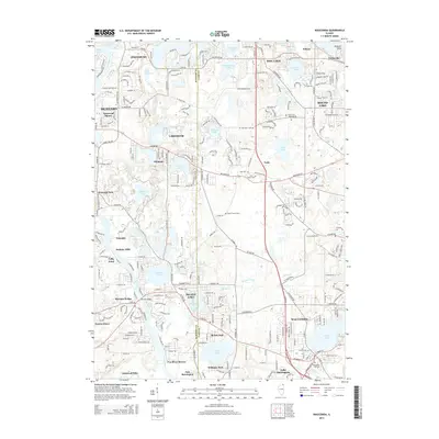
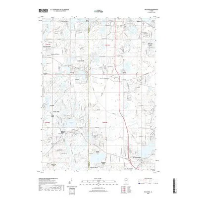
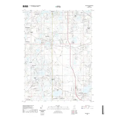
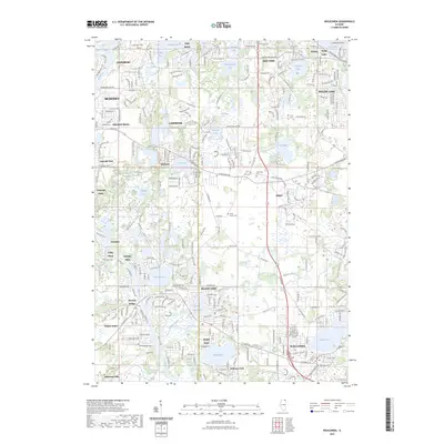
Wauconda and its neighboring lake communities define this region where the McHenry Co Lake Co line intersects a landscape defined by glacial hydrology. The village sits at the edge of Bangs Lake, while further west, the Fox River system connects Pistakee Lake, Griswold Lake, and Island Lake. This modern record reveals the extensive residential developments of Lakemoor, Port Barrington, and Prairie Grove that have grown around these historic water bodies.
Find a feature on this map
280 named features on this map. Tap any name to fly to it.
Don’t see what you’re looking for? This feature index may not catch every label — zoom into the map to look around manually.
Map Details
Date Portrayed2024
Date Published2024
PublisherU.S. Geological Survey
Map TypeTopographic
Scale1:24,000
Physical Dimensions24 x 29 inches
Editions of this 2024 Wauconda Map
This is the sole edition of this map. No revisions or reprints were ever made.
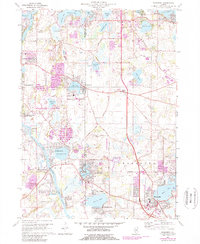
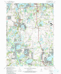
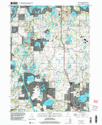
Historical Maps of McHenry Through Time
9 maps found
Featured Locations
Source Details
SourceU.S. Geological Survey
CopyrightPublic Domain