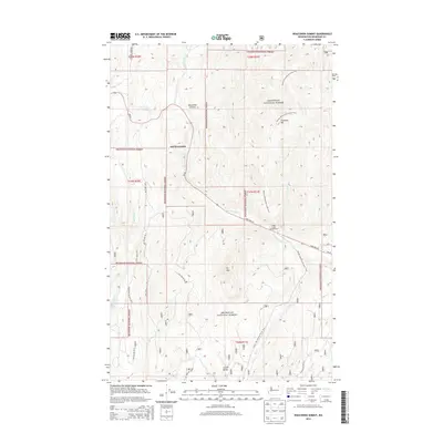
2014 Map of Wauconda Summit
USGS Topo · Published 2014About this map
Old Wauconda sits as a central historical marker in this high-elevation landscape within the Okanogan National Forest. The geography is defined by a series of prominent peaks and drainage systems, including Clackmas Mtn, Fir Mtn, and Corner Butte, which channel numerous waterways like W Fork Granite Cr and Cape Labelle Cr. Transportation through this territory relies on the vital artery of State Hwy 20, which winds through the Wauconda Summit. Outdoor recreation and historical passage are evident through the Pacific NW National Scenic Trail as it traverses the eastern ridges and the presence of the Sweat Creek Campground near the confluence of several mountain forks. This documentation reveals a landscape where modern infrastructure and forest service routes like Nat For Dev Rd 31 navigate around the established topography of the Pacific Northwest.
Find a feature on this map
28 named features on this map. Tap any name to fly to it.
Don’t see what you’re looking for? This feature index may not catch every label — zoom into the map to look around manually.
Map Details
Editions of this 2014 Wauconda Summit Map
This is the sole edition of this map. No revisions or reprints were ever made.
Other maps of this area

1902 · Osoyoos
USGS Topo · 1:125,000

1904 · Osoyoos
USGS Topo · 1:125,000

1904 · Republic
USGS Topo · 1:125,000

1951 · Wauconda
USGS Topo · 1:62,500

1951 · Bodie Mountain
USGS Topo · 1:62,500

1954 · Okanogan
USGS Topo · 1:250,000

1957 · Mt. Bonaparte
USGS Topo · 1:62,500

1957 · Aeneas Valley
USGS Topo · 1:62,500

1958 · Okanogan
USGS Topo · 1:250,000

1958 · Aeneas
USGS Topo · 1:62,500