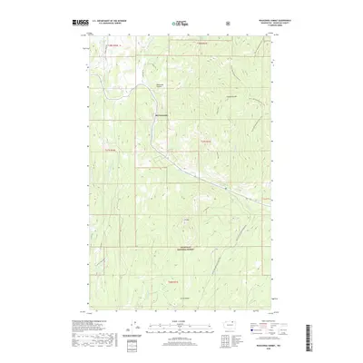
2020 Map of Wauconda Summit
USGS Topo · Published 2020About this map
Old Wauconda sits at the heart of this high-elevation landscape in the northeastern reaches of the Okanogan National Forest. The map documents a rugged section of Okanogan County where historic routes like Old Stage Rd and Toroda Creek Rd converge near the Wauconda Summit. These road names hint at the region's earlier transportation history and mining connections, providing a detailed view of the terrain before more modern developments.
Find a feature on this map
25 named features on this map. Tap any name to fly to it.
Don’t see what you’re looking for? This feature index may not catch every label — zoom into the map to look around manually.
Map Details
Editions of this 2020 Wauconda Summit Map
This is the sole edition of this map. No revisions or reprints were ever made.
Other maps of this area

1902 · Osoyoos
USGS Topo · 1:125,000

1904 · Osoyoos
USGS Topo · 1:125,000

1904 · Republic
USGS Topo · 1:125,000

1951 · Wauconda
USGS Topo · 1:62,500

1951 · Bodie Mountain
USGS Topo · 1:62,500

1954 · Okanogan
USGS Topo · 1:250,000

1957 · Mt. Bonaparte
USGS Topo · 1:62,500

1957 · Aeneas Valley
USGS Topo · 1:62,500

1958 · Okanogan
USGS Topo · 1:250,000

1958 · Aeneas
USGS Topo · 1:62,500