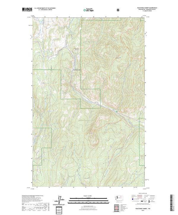
2023 Map of Wauconda Summit
USGS Topo · Published 2023About this map
Wauconda Summit and the nearby site of Old Wauconda serve as the primary human touchpoints in this mountainous stretch of the Okanogan National Forest. This high-elevation landscape is defined by the headwaters of numerous drainages, including West Fork Granite Creek and Fir Creek, which carve through the terrain surrounding peaks like Clackamas Mtn and Fir Mtn. The transport network reveals the area's history of movement across the range, where modern routes like Summit Rd parallel the historic path of Old Stage Rd. The Pacific Northwest National Scenic Trl winds across the eastern ridges, providing a pedestrian artery through a landscape largely devoted to forest management and high-country grazing. This 2023 survey documents the enduring geography of these Okanogan County summits and the small settlements that grew along the vital mountain passes.
Find a feature on this map
27 named features on this map. Tap any name to fly to it.
Don’t see what you’re looking for? This feature index may not catch every label — zoom into the map to look around manually.
Map Details
Editions of this 2023 Wauconda Summit Map
This is the sole edition of this map. No revisions or reprints were ever made.
Other maps of this area

1902 · Osoyoos
USGS Topo · 1:125,000

1904 · Osoyoos
USGS Topo · 1:125,000

1904 · Republic
USGS Topo · 1:125,000

1951 · Wauconda
USGS Topo · 1:62,500

1951 · Bodie Mountain
USGS Topo · 1:62,500

1954 · Okanogan
USGS Topo · 1:250,000

1957 · Mt. Bonaparte
USGS Topo · 1:62,500

1957 · Aeneas Valley
USGS Topo · 1:62,500

1958 · Okanogan
USGS Topo · 1:250,000

1958 · Aeneas
USGS Topo · 1:62,500