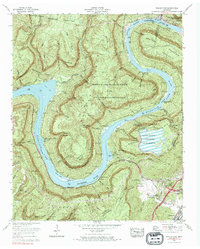
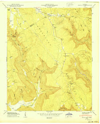
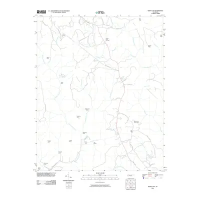
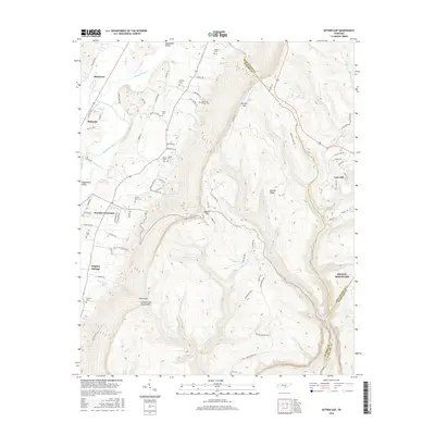
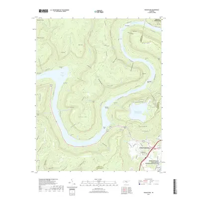
1970 Map of Wauhatchie
USGS Topo · Published 1984About this map
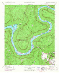
Nickajack Lake dominates this segment of the Tennessee River, winding through deep mountain gorges near the Hamilton and Marion county line. The 1970 landscape reflects a significant industrial and utility presence, most notably the massive Raccoon Mountain Pumped Storage Dam and Reservoir and the Wauhatchie Yards (L&N) rail facility. Family-named cemeteries like Pot Cem, McNabb Cem, and Ellis Cem remain tucked into the hollows of Raccoon Mountain and Elder Mountain, providing essential links for genealogists tracing local lineage.
Find a feature on this map
60 named features on this map. Tap any name to fly to it.
Don’t see what you’re looking for? This feature index may not catch every label — zoom into the map to look around manually.
Map Details
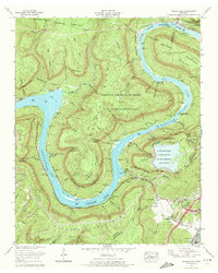
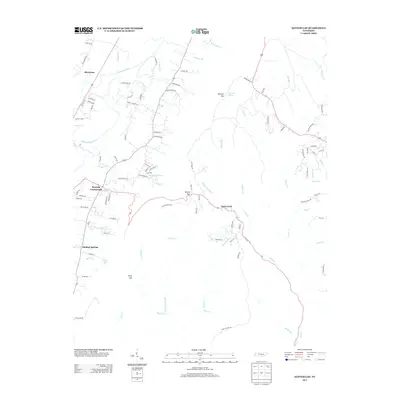
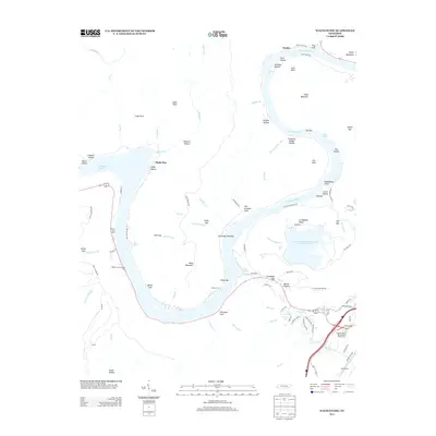
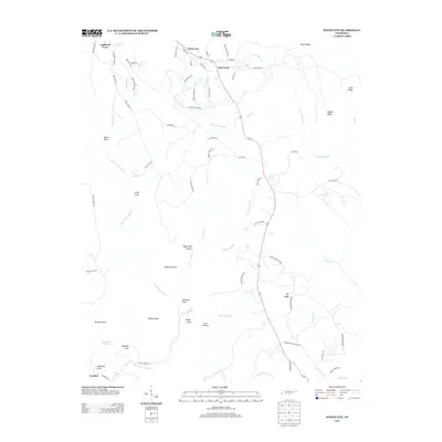
Editions of this 1970 Wauhatchie Map
3 editions found
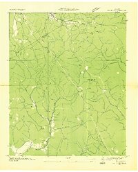
Historical Maps of Chattanooga Through Time
25 maps found

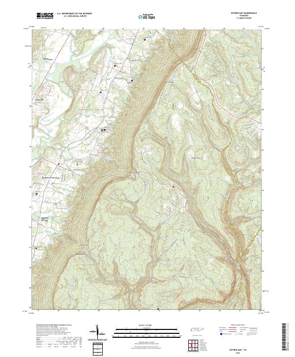
1936 Ketner Gap
Marion County, TN
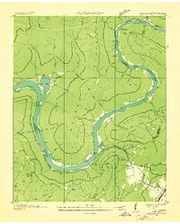
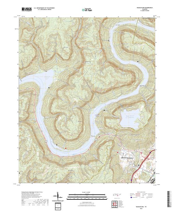
1936 Wauhatchie
Marion County, TN
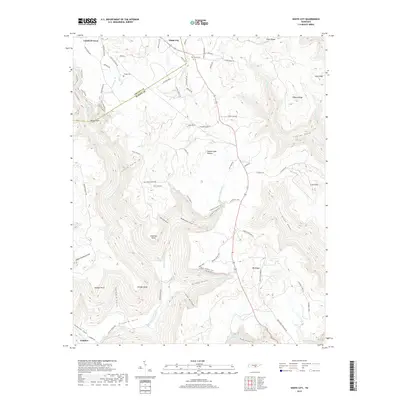
1936 White City
Marion County, TN
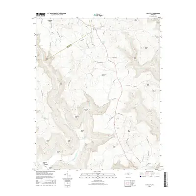
1942 Wauhatchie
Marion County, TN
1943 Ketner Gap
Marion County, TN
1943 Wauhatchie
Marion County, TN

1946 Ketner Gap
Marion County, TN
1947 White City
Marion County, TN
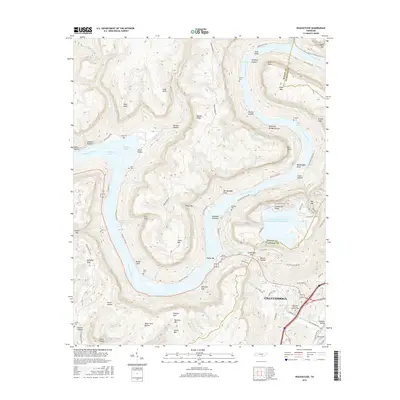
1950 White City
Marion County, TN
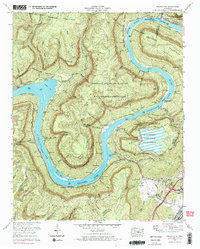
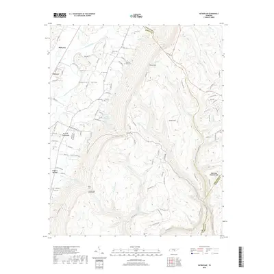
1970 Wauhatchie
Marion County, TN
2010 Ketner Gap
Marion County, TN
2010 Wauhatchie
Marion County, TN
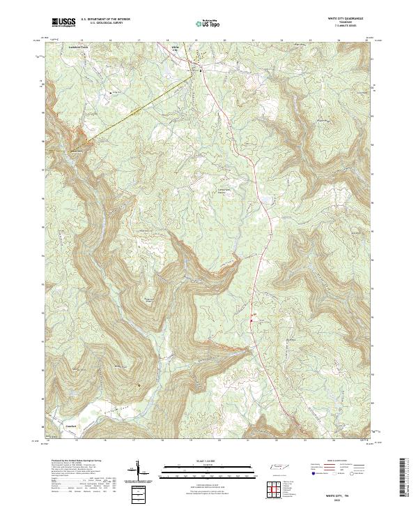
2010 White City
Marion County, TN
2013 Ketner Gap
Marion County, TN
2013 Wauhatchie
Marion County, TN
2013 White City
Marion County, TN
2016 Ketner Gap
Marion County, TN
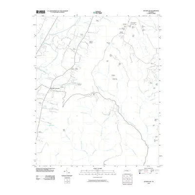
2016 Wauhatchie
Marion County, TN
2016 White City
Marion County, TN
2019 Ketner Gap
Marion County, TN
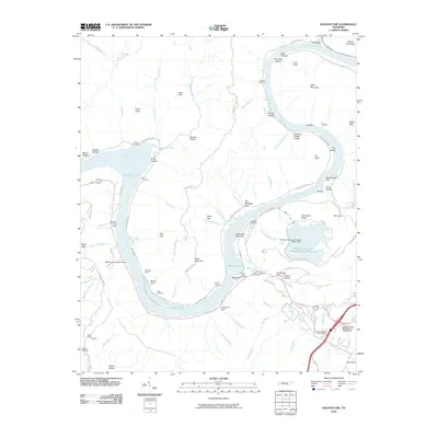
2019 Wauhatchie
Marion County, TN
2019 White City
Marion County, TN
2022 Ketner Gap
Marion County, TN
2022 Wauhatchie
Marion County, TN
2022 White City
Marion County, TN