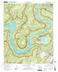
1970 Map of Wauhatchie
USGS Topo · Published 1984About this map
Raccoon Mountain and the deep bend of the Tennessee River dominate this 1970 Tennessee landscape. The terrain is marked by massive engineering projects, most notably the Raccoon Mountain Pumped Storage Dam and Reservoir and its associated underground powerhouse. This energy infrastructure sits alongside older traces of habitation and industry, including multiple strip mines and the rail hub at Wauhatchie Yards near the L & N RR.
Find a feature on this map
61 named features on this map. Tap any name to fly to it.
Don’t see what you’re looking for? This feature index may not catch every label — zoom into the map to look around manually.
Map Details
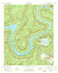
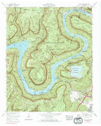
Editions of this 1970 Wauhatchie Map
3 editions found
Other maps of this area

1886 · Ringgold
USGS Topo · 1:125,000

1886 · Stevenson
USGS Topo · 1:125,000

1888 · Chattanooga
USGS Topo · 1:125,000

1892 · Ringgold
USGS Topo · 1:125,000

1892 · Stevenson
USGS Topo · 1:125,000

1893 · Chattanooga
USGS Topo · 1:125,000

1895 · Stevenson
USGS Topo · 1:125,000

1895 · Sewanee
USGS Topo · 1:125,000

1936 · Shellmound
USGS Topo · 1:24,000

1936 · Whitwell
USGS Topo · 1:24,000