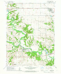
1965 Map of Waukee
USGS Topo · Published 1966About this map
The confluence of the North Raccoon River and South Raccoon River anchors this mid-1960s landscape, where the waterways meet to form the main Raccoon River. This convergence defines the local topography, creating a corridor for major transportation lines including the Chicago Rock Island and Pacific railroad. The settlement of Van Meter sits at the junction of Bulger Creek and the river, showing its early importance as a rail stop equipped with a Gaging Station and nearby Gravel Pit operations.
Find a feature on this map
33 named features on this map. Tap any name to fly to it.
Don’t see what you’re looking for? This feature index may not catch every label — zoom into the map to look around manually.
Map Details
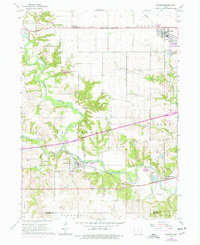
Editions of this 1965 Waukee Map
2 editions found
Other maps of this area

1908 · Waukee
USGS Topo · 1:62,500

1949 · Adel
USGS Topo · 1:62,500

1951 · Adel
USGS Topo · 1:62,500

1951 · St. Charles
USGS Topo · 1:62,500

1952 · Winterset
USGS Topo · 1:62,500

1954 · Omaha
USGS Topo · 1:250,000

1954 · Des Moines
USGS Topo · 1:250,000

1956 · Des Moines
USGS Topo · 1:250,000

1957 · Des Moines
USGS Topo · 1:250,000

1957 · Omaha
USGS Topo · 1:250,000