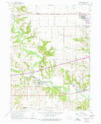
1965 Map of Waukee
USGS Topo · Published 1977About this map
The confluence of the North Raccoon River and the South Raccoon River shapes the geography of this mid-1960s Iowa landscape. This area, largely defined by the townships of Van Meter, Walnut, and Adel, is a critical junction for major midwestern rail networks. The Chicago Milwaukee St Paul and Pacific runs through the northern reaches near Ortonville, while the Chicago Rock Island and Pacific services the southern settlements of Van Meter and Booneville. Numerous family and community burial sites, including the Williams Cem, Thornton Cem, and Clayton Cem, are scattered throughout the river valleys and uplands. The terrain shows a transition from the agricultural plateaus around Waukee to the complex riparian network of Bulger Creek and Sugar Creek as they drain into the main branch of the Raccoon River.
Find a feature on this map
33 named features on this map. Tap any name to fly to it.
Don’t see what you’re looking for? This feature index may not catch every label — zoom into the map to look around manually.
Map Details
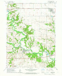
Editions of this 1965 Waukee Map
2 editions found
Other maps of this area

1908 · Waukee
USGS Topo · 1:62,500

1949 · Adel
USGS Topo · 1:62,500

1951 · Adel
USGS Topo · 1:62,500

1951 · St. Charles
USGS Topo · 1:62,500

1952 · Winterset
USGS Topo · 1:62,500

1954 · Omaha
USGS Topo · 1:250,000

1954 · Des Moines
USGS Topo · 1:250,000

1956 · Des Moines
USGS Topo · 1:250,000

1957 · Des Moines
USGS Topo · 1:250,000

1957 · Omaha
USGS Topo · 1:250,000