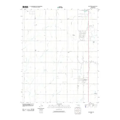
2010 Map of Waukomis
USGS Topo · Published 2010About this map
Waukomis serves as the primary hub in this southern Garfield County landscape, situated along the north-south transport corridor that defines the local economy. The area is characterized by its organized grid of section roads like Richland Ave and W Southgate Rd, which bridge numerous small waterways including Turkey Creek and the curiously named Hell and Gone Creek. The map documents a significant aviation footprint, featuring Vance Air Force Base alongside private facilities such as Traynor Ranch Airport and the Anderson Landing Strip.
Find a feature on this map
34 named features on this map. Tap any name to fly to it.
Don’t see what you’re looking for? This feature index may not catch every label — zoom into the map to look around manually.
Map Details
Editions of this 2010 Waukomis Map
This is the sole edition of this map. No revisions or reprints were ever made.
Other maps of this area

1893 · Hennessey
USGS Topo · 1:62,500

1893 · Ames
USGS Topo · 1:62,500

1955 · Enid West
USGS Topo · 1:24,000

1955 · Enid East
USGS Topo · 1:24,000

1955 · Enid
USGS Topo · 1:250,000

1955 · Woodward
USGS Topo · 1:250,000

1956 · Ames
USGS Topo · 1:62,500

1956 · Hennessey
USGS Topo · 1:62,500

1956 · Enid
USGS Topo · 1:62,500

1956 · Ringwood
USGS Topo · 1:62,500