
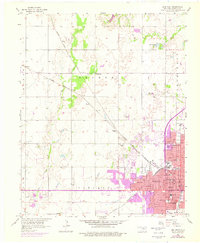
1955 Map of Enid West
USGS Topo · Published 1957About this map
Enid dominates the southeastern portion of this mid-1950s survey, showing a dense residential and institutional grid before later suburban expansion. The city is a hub for multiple rail lines, including the Atchison Topeka and Santa Fe and the Chicago Rock Island and Pacific, which converge near industrial and civic landmarks like the Waterworks and Hospital. A high concentration of local schools serves the growing community, from McKinley Sch to Taft Sch, while the City Cemetery and County Fairground mark the eastern edge of the developed township.
Find a feature on this map
50 named features on this map. Tap any name to fly to it.
Don’t see what you’re looking for? This feature index may not catch every label — zoom into the map to look around manually.
Map Details
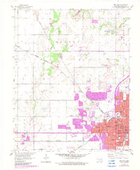
Editions of this 1955 Enid West Map
3 editions found
Other maps of this area

1955 · Enid East
USGS Topo · 1:24,000

1955 · Enid
USGS Topo · 1:250,000

1955 · Woodward
USGS Topo · 1:250,000

1956 · Enid
USGS Topo · 1:62,500

1956 · Ringwood
USGS Topo · 1:62,500

1958 · Enid
USGS Topo · 1:250,000

1958 · Woodward
USGS Topo · 1:250,000

1968 · Hillsdale
USGS Topo · 1:24,000

1968 · Kremlin
USGS Topo · 1:24,000

1969 · Jet SE
USGS Topo · 1:24,000