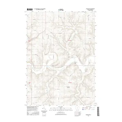
2015 Map of Waukon NW
USGS Topo · Published 2015About this map
The Upper Iowa River cuts a deep, winding path through the dissected plateau of Allamakee County, defining the agricultural and topographical character of this corner of Iowa. In the northern reaches, the Upper Iowa River Bridge provides a vital crossing point, while smaller tributaries like French Creek and Clear Creek carve through the landscape, creating distinct landforms such as Long Hollow and the evocatively named Dead Horse Hollow.
Find a feature on this map
56 named features on this map. Tap any name to fly to it.
Don’t see what you’re looking for? This feature index may not catch every label — zoom into the map to look around manually.
Map Details
Editions of this 2015 Waukon NW Map
This is the sole edition of this map. No revisions or reprints were ever made.
Other maps of this area

1903 · Waukon
USGS Topo · 1:125,000

1906 · Decorah
USGS Topo · 1:125,000

1956 · Brownsville
USGS Topo · 1:62,500

1958 · La Crosse
USGS Topo · 1:250,000

1961 · La Crosse
USGS Topo · 1:250,000

1965 · La Crosse
USGS Topo · 1:250,000

1965 · Wilmington
USGS Topo · 1:24,000
1968 · Church
USGS Topo · 1:24,000

1968 · Waukon
USGS Topo · 1:24,000
1968 · New Albin
USGS Topo · 1:24,000