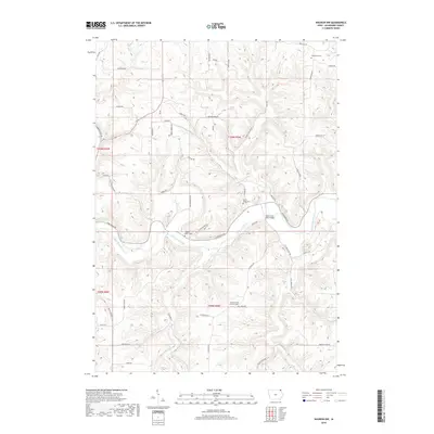
2018 Map of Waukon NW
USGS Topo · Published 2018About this map
The Upper Iowa River winds through the driftless-area topography of northern Allamakee County, defining a landscape shaped by deep valleys and high ridges. Significant historical markers are found in the rural cemeteries that anchor local family histories, including Wheatland Cem in the northeast and English Bench Cem overlooking the river valley. The river itself is a focal point for infrastructure, notably at the Upper Iowa River Bridge, where Iowa River Dr follows the northern bank. Tributaries like French Cr, Silver Cr, and Clear Cr carve out distinct secondary valleys, while descriptive terrain names such as Dead Horse Hollow and Long Hollow Rd reflect the early settler experience in navigating this complex geography. The distribution of sites like the French Creek Methodist Cem suggests the enduring presence of long-established community crossroads.
Find a feature on this map
55 named features on this map. Tap any name to fly to it.
Don’t see what you’re looking for? This feature index may not catch every label — zoom into the map to look around manually.
Map Details
Editions of this 2018 Waukon NW Map
This is the sole edition of this map. No revisions or reprints were ever made.
Other maps of this area

1903 · Waukon
USGS Topo · 1:125,000

1906 · Decorah
USGS Topo · 1:125,000

1956 · Brownsville
USGS Topo · 1:62,500

1958 · La Crosse
USGS Topo · 1:250,000

1961 · La Crosse
USGS Topo · 1:250,000

1965 · La Crosse
USGS Topo · 1:250,000

1965 · Wilmington
USGS Topo · 1:24,000
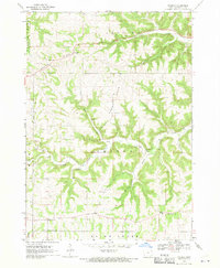
1968 · Church
USGS Topo · 1:24,000

1968 · Waukon
USGS Topo · 1:24,000
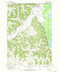
1968 · New Albin
USGS Topo · 1:24,000