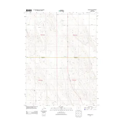
2013 Map of Wauneta NE
USGS Topo · Published 2013About this map
The rolling plains of the Colorado High Plains define this borderland where Phillips Co meets Yuma Co. In this part of the state, the landscape is organized by a strict grid of section lines and gravel paths, where agricultural operations like the Double W Farm Dairy anchor the rural economy. The primary north-south artery, Us-385 N, cuts through the center of the terrain, providing a vital connection for local transport between these expansive fields. Local life is mapped through a series of numbered thoroughfares, including Co Road 60, Co Road 2, and Co Road 10, which delineate the farm boundaries and grazing lands of the early twenty-first century. This region remains a testament to the persistent agricultural heritage and systematic land division of the American West.
Find a feature on this map
21 named features on this map. Tap any name to fly to it.
Don’t see what you’re looking for? This feature index may not catch every label — zoom into the map to look around manually.
Map Details
Editions of this 2013 Wauneta NE Map
This is the sole edition of this map. No revisions or reprints were ever made.
Other maps of this area

1954 · Sterling
USGS Topo · 1:250,000

1958 · Sterling
USGS Topo · 1:250,000

1971 · Paoli
USGS Topo · 1:24,000

1971 · Amherst SW
USGS Topo · 1:24,000

1971 · Holyoke
USGS Topo · 1:24,000

1971 · Alvin NW
USGS Topo · 1:24,000

1971 · Alvin SW
USGS Topo · 1:24,000

1971 · Fiddler Peak
USGS Topo · 1:24,000

1971 · Wauneta NE
USGS Topo · 1:24,000

1971 · Wauneta
USGS Topo · 1:24,000