
1975 Map of Waupun NW
USGS Topo · Published 1977About this map
Waupun anchors the southern edge of this mid-1970s orthophoto, where the orderly grid of the city meets the expansive agricultural landscape of Fond du Lac County. The imagery reveals a highly developed mosaic of rectangular farm plots and access roads that characterize this region of Wisconsin. To the east, the northern reaches of the Horicon National Wildlife Refuge begin to appear, showing the transition from cultivated fields to protected wetlands. Small rural clusters like Ladoga dot the northern portion of the map, connected by a network of winding roads and section lines. This aerial perspective, captured on film in 1975, provides a literal view of land use patterns, from the density of residential structures in the city to the precisely managed woodlots and drainage systems that support the local dairy and crop economy.
Find a feature on this map
3 named features on this map. Tap any name to fly to it.
Don’t see what you’re looking for? This feature index may not catch every label — zoom into the map to look around manually.
Map Details
Editions of this 1975 Waupun NW Map
This is the sole edition of this map. No revisions or reprints were ever made.
Other maps of this area

1916 · Ripon
USGS Topo · 1:48,000

1918 · Ripon
USGS Topo · 1:62,500

1955 · Waupun
USGS Topo · 1:62,500

1955 · Fox Lake
USGS Topo · 1:62,500

1956 · Ripon
USGS Topo · 1:62,500

1956 · Rosendale
USGS Topo · 1:62,500

1957 · Madison
USGS Topo · 1:250,000

1960 · Madison
USGS Topo · 1:250,000
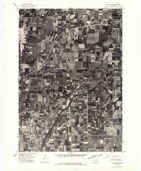
1975 · Waupun NE
USGS Topo · 1:24,000
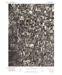
1975 · Waupun SE
USGS Topo · 1:24,000